What is recorded here
National Monument No. 380. Enclosure: The uneven interior of the enclosure, measuring 39m N-S x 32m E-W, is raised above the surrounding ground level and is heavily overgrown. It is largely bounded by a much collapsed stony rampart that is faced both internally and externally with coursed drystone masonry. It is best preserved at NE, where it measures 1.1m high externally and rises .6m above internal ground level. It varies between 1.2m and 2.4m thick, and mounds of collapse up to 2m wide abut it externally. The rampart is very poorly preserved at SE and S. A 4m wide gap at E may mark the original entrance to the enclosure.
The above description is derived from A. O'Sullivan and J. Sheehan (compilers), 'The Iveragh peninsula: an archaeological survey of South Kerry'. Cork University Press (1996), no. 931. In certain instances the entries have been revised and updated in the light of recent research.
Date of upload: 30 July 2013
The monument record does not grant public access. Check the route and ask the landowner before entering private land.
- What survives
- Recorded monument
Places near here
 Cross in An Bhinn Bhán (uíbh Ráthach)Cross · 10 yd
 IndicatedHut site · 123 yd
 Iveragh Lodgehunting/fishing lodge · 1225 yd
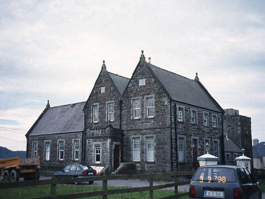 The Cable Stationcoastguard station · 1233 yd
 Butler MemorialMemorial · 1263 yd
 T. C. Millerick MemorialMemorial · 1386 yd
 Waterville PromenadeWalking route · 1480 yd
 CastleCastle, tower house · 1.0 mi
 Inny StrandBeach / strand · 2.0 mi
 An Bheann MhórMountain / peak · 2.5 mi
 An PlaoscHeadland · 2.8 mi
 Reenrow BeachBeach / strand · 2.8 mi