What is recorded here
Indicated, Aghnahoo Glebe is the ruined bawn beside Termon McGrath Castle, where Cromwellian guns broke the north wall in 1649 and left the place exposed to weather. Its L-shaped walls, corner towers and gun-loops still mark a residence built to resist, not merely to shelter. The rivers beside it have carried away everything the stones did not hold.
Located on the NW side of a tower house (DG105-014001-) and associated with a settlement cluster (DG105-014002-). The lands of Termon McGrath were granted to James, son of Archbishop Myler McGrath in 1610 (Hill 1877, 183-4). In 1611 Carew records that the 'Archbishop of Cashill hath begune a prittie castle at Termon Magragh w'ch he entends speedily to finish, havinge his materials ready at the place wher he meanes to buyld a bawne and finish the castle' (Hunter 1975, 82). In the campaign of 1649-50 Termon McGrath Castle was bombarded by Cromwellian troops and the N wall of the tower-house destroyed; it has remained a ruin ever since (Rowan 1979, 453). The ruins comprise a tower-house (DG105-001-) and bawn (DG105-014003-) sited where the Waterfoot and Termon rivers enter Lough Erne. The bawn (DG105-014003-) is roughly L-shaped in plan, the maximum dimensions being c. 27m x 27m; it is enclosed by a wall of roughly-coursed blocks and split stone rubble laid in mortar, and abuts the NE and SW corners of the tower-house. It was protected by two circular two-storey towers at the NE and NW corners; these were entered from the bawn by lintelled doorways with drawbar holes. They were fitted with gun-loops on both levels. Only the lower courses of the SE corner of the bawn wall remain. The E wall is c. 3m-4m in height and preserves indications for seven gun-loops. There is a splayed opening at ground level at the N end of this wall; its function is unclear. At the S end of the wall, opposite the tower, the wall is off-set 2.1m above present ground level which together with a corbel-like projection of mortared stones indicates a possible wall-walk or super-structure in this area. There are traces of a shallow fosse outside the E and SE bawn wall. The SW section of bawn wall is represented by footings. The W wall c. 2.5m-3.5min height has five gun-loops and had a small contemporary building near its S end; no visible trace of the E extent of this structure survives. The foundations of the N wall remain with traces of a central gate. A road, c. 4.3m wide and delineated by rubble blocks, leads N from the gate for c. 100m.
The above description was derived from the 'Archaeological Survey of County Donegal. A description of the field antiquities of the County from the Mesolithic Period to the 17th century.' Compiled by: Brian Lacey with Eamon Cody, Claire Cotter, Judy Cuppage, Noel Dunne, Vincent Hurley, Celie O'Rahilly, Paul Walsh and Seán Ó Nualláin (Lifford: Donegal County Council, 1983). In certain instances the entries have been revised and updated.
Date of upload: 08 December 2011
Aghnahoo Glebe was associated with the lands of Termon McGrath, granted in 1610 to James, son of Archbishop Myler McGrath; it is remembered for its historical connection to the McGrath family and early 17th-century land allocations in the region.
This remains an important historical record, but the official description says the monument is no longer visible or has been destroyed. The monument record does not grant public access. Check the route and ask the landowner before entering private land.
- What survives
- No visible remains or recorded as destroyed
Places near here
 Castle McGrathCastle · 3 yd
 Smiths RocksIsland · 912 yd
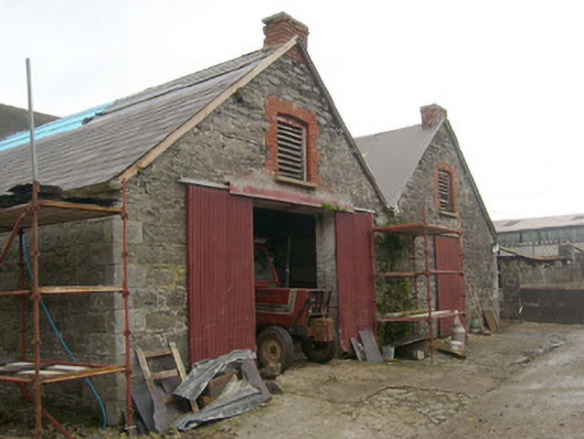 outbuildingoutbuilding · 1356 yd
 Teige's RockIsland · 1413 yd
 Drumharriff WoodForest recreation place · 1.1 mi
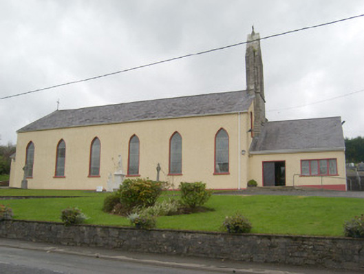 St. Mary's Catholic Churchchurch/chapel · 1.1 mi
 ENCLOSURE in PortnablahyENCLOSURE · 1.3 mi
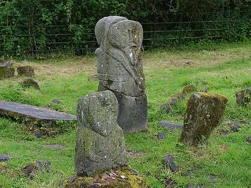 Boa IslandIsland · 1.3 mi
 InishturkWood · 1.6 mi
 possible CHURCH SITE: KILL PARK in Ardshankillpossible CHURCH SITE: KILL PARK · 1.6 mi
 Derrin MountainMountain / peak · 2.1 mi
 STONE FIGURES IN CALDRAGH GRAVEYARD: BOA ISLAND in DreenanSTONE FIGURES IN CALDRAGH GRAVEYARD: BOA ISLAND · 2.1 mi