What is recorded here
Marked on all OS eds. Small island in Dumb Lough, c. 55m from the shoreline and c. 250m SW of a second possible crannóg (CV019-003----). The lake has been drained and the water-level lowered considerably. The site is now joined to the mainland. From the shore it appears as a low roughly circular, vegetation-covered mound (diam. c. 12m) among the rushes. Davies (ITA Survey 1942) noted 'one probable pile projecting at the edge'.
The above description is derived from the published 'Archaeological Inventory of County Cavan' (Dublin: Stationery Office, 1995). In certain instances the entries have been revised and updated in the light of recent research.
Date of upload/revision: 22 December 2008
The monument record does not grant public access. Check the route and ask the landowner before entering private land.
- What survives
- Recorded monument
Places near here
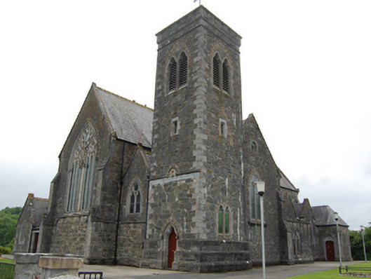 Saint Brigid's Catholic Churchchurch/chapel · 1015 yd
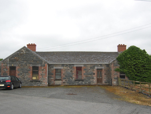 Killashandra Railway Stationrailway station · 1140 yd
 Killeshandra Irish Countrywomen's Association 70th AnniversaryMemorial · 1425 yd
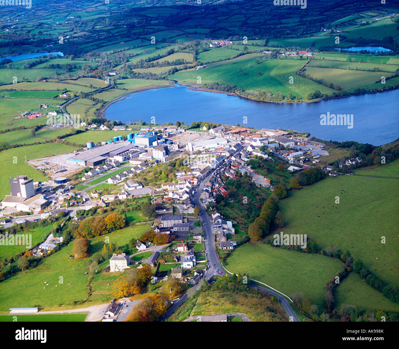 IndicatedFairy fort / earthen ringfort · 1757 yd
 Pedunculate OakPedunculate Oak · 1.2 mi
 Enclosure in ShancroaghanEnclosure · 1.2 mi
 Castlehamilton DemesneForest · 1.2 mi
 Creenagh GlebeMountain / peak · 1.3 mi
 AghnacorMountain / peak · 2.1 mi
 Inch IslandIslet · 2.3 mi
 Woodenhouse BayBay · 2.5 mi
 Killykeen Forest ParkForest · 2.5 mi