
What is recorded here
In rough scrub land, on a SW-facing slope. A roughly circular area (diam. c. 44m) defined by an earthen bank SW-SE and by a scarp (H 2m) SE-SW. The interior slopes down to the SW and is covered in rough scrub. There are cattle gaps at E, SE and W. The outer face of the bank along the N arc and the area outside this was not inspected due to dense overgrowth. Indicated as a roughly rectangular field on the 1894 OS 6-inch map with field boundaries radiating from it at NE, SSE, SW and WNW. The field boundaries at SSE and SW have been removed.
Compiled by: Elizabeth Byrne, Ursula Egan and Sheila Ronan, Archaeological Survey Unit, University College, Cork.
Date of upload: 30 May 2011
The monument record does not grant public access. Check the route and ask the landowner before entering private land.
- What survives
- Recorded monument
Places near here
 Water millWater mill, horizontal-wheeled · 266 yd
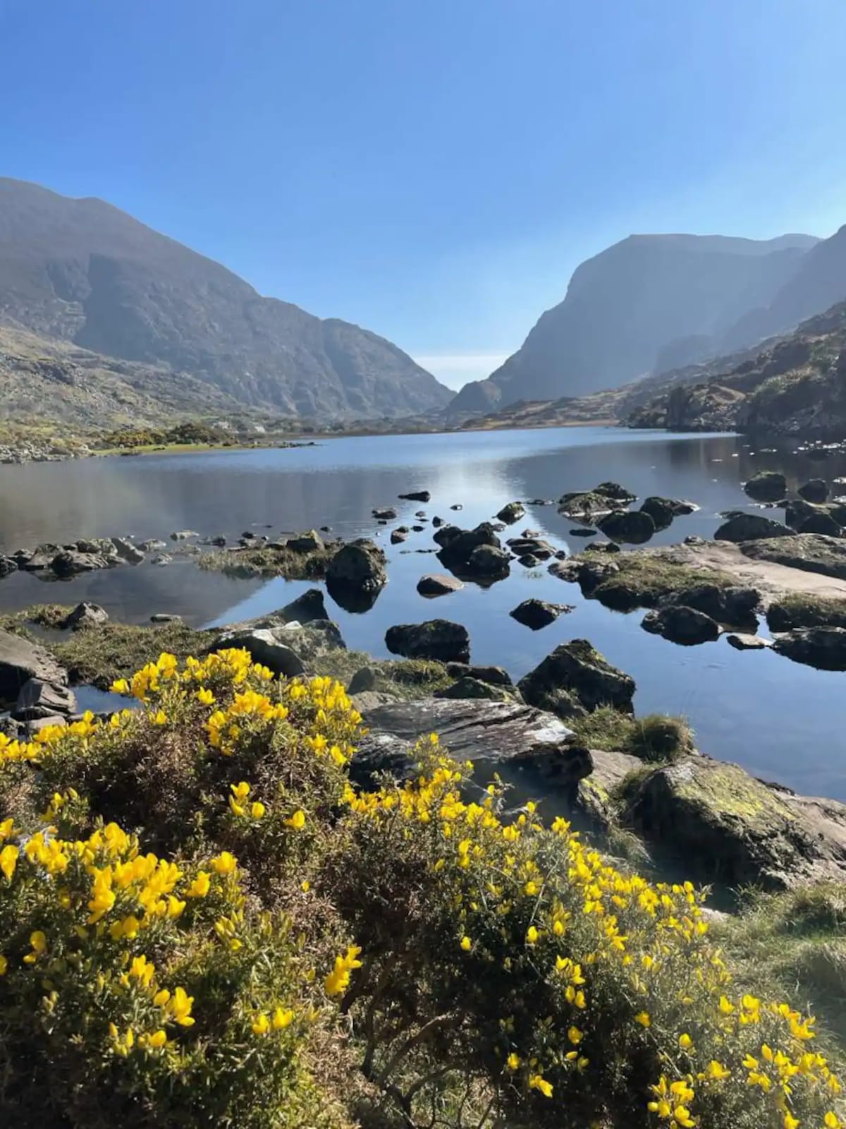 Enclosure in Barleymount EastEnclosure · 1241 yd
 Fulachta FianBurnt spread · 1443 yd
 Aghadoe Church (in Ruins)Church · 1.1 mi
 Aghadoe Early Medieval Ecclesiastical SiteHeritage attraction · 1.2 mi
 Parkavonear CastleCastle · 1.2 mi
 Famine MemorialMemorial · 2.3 mi
 Circular WalkWalking route · 2.4 mi
 GinkgoGinkgo · 2.6 mi
 Giant SequoiaGiant Sequoia · 2.6 mi
 Kerry 2nd Brigade of the Irish Republican ArmyMemorial · 2.7 mi
 Lamb IslandIsland · 2.7 mi
Other information
Photo: Credit not shown in the picture search · Rights wording not checked; contact us if this picture should be removed