What is recorded here
In the former demesne grounds of Adare Manor now within Adare Manor Golf Club on gently rolling former pasture 160m NE of the River Maigue. The mill forms part of the domestic range of out buildings associated with the 15th century Franciscan Friary (LI021-032007-) described in the Urban Survey of County Limerick (Bradley et. al. 1989, 32-6). The mill is located 60m NW of the nave of the religious house (LI021-03207-). The mill building is depicted on the 1840 ed. OSi 6-inch map and on the 1897 ed. OSi 25-inch map as a square-shaped building. The monastic complex was surveyed by the National Monuments Service (Leask 1960, 78). The mill is depicted as a single storey square-shaped building (ext. dims. 7.6m) similar to a tower house with alternating quoins and a high base batter with two splayed windows in the S wall. The building is orientated ENE-WSW with a mill race channel running (E-W) through it via a projection in the E wall (Wth 2.4m N-S; L 3m E-W). The millrace runs under a domestic range of buildings at the N of the Friary complex including a garderobe. The location of the site is visible covered in mature trees on Google Earth orthoimages taken 28/06/2018 and 14/02/2020.
See attached plan of Franciscan Friary church and mill building taken from Leask 1960 and Google Earth orthoimage
Compiled by: Edmond O’Donovan
Date of upload: 17 August 2020
The monument record does not grant public access. Check the route and ask the landowner before entering private land.
- What survives
- Recorded monument
Places near here
 Franciscan AbbeyArchaeological place · 77 yd
 Augustinian Abbey (in ruins)Religious house, Franciscan friars · 80 yd
 Armorial plaque in AdareArmorial plaque · 168 yd
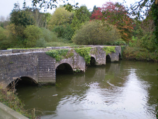 Adare Manorbridge · 259 yd
 European YewEuropean Yew · 354 yd
 Desmonds Castle (in ruins)Castle, Anglo-Norman masonry castle · 365 yd
 Adare Desmond CastleMedieval castle · 368 yd
 European BeechEuropean Beech · 369 yd
 Desmond CastleHeritage attraction · 373 yd
 CastleCastle, tower house · 710 yd
 Adare Tourist OfficeVisitor information · 1099 yd
 Flat cemetery in Kiltenan SouthFlat cemetery · 3.9 mi