What is recorded here
Situated on a SE-facing slope and just N of the gatehouse (ME027-038014-) associated with St Michael's church (ME027-038011-) is the corner of a building that is now destroyed.
Compiled by: Michael Moore
Date of upload; 27 November, 2014
This remains an important historical record, but the official description says the monument is no longer visible or has been destroyed. The monument record does not grant public access. Check the route and ask the landowner before entering private land.
- What survives
- No visible remains or recorded as destroyed
Places near here
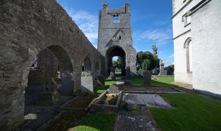 AbbeyReligious house, Augustinian canons · 33 yd
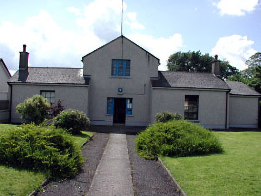 Duleek Garda Síochána StationRIC barracks · 81 yd
 CrossCross, Wayside cross · 140 yd
 Common LimeCommon Lime · 272 yd
 CastleCastle, motte · 523 yd
 Enclosure in PriorylandEnclosure · 583 yd
 Athcarne CastleCastle, tower house · 2.4 mi
 Boyne Currach CentreHeritage attraction · 3.0 mi
 Brú na Bóinne Visitors CentreVisitor information · 3.1 mi
 Brú na Bóinne Visitor Centre AccessHeritage attraction · 3.1 mi
 Glenmore ForestWood · 3.4 mi
 Newgrange Business ParkMemorial · 3.9 mi