What is recorded here
The official Northern Ireland record identifies this as INAUGURATION STONE: GIANT'S TRACK, SHANE'S LEAP or ST.ADAMNAN'S FOOTPRINTS. Recorded period: UNCERTAIN. Recorded protection: Scheduled. The official map point was placed at the centre of the recorded archaeological site from the source map reference.
Likely dating to the early medieval period, the stone may have been used for ceremonial or inauguration purposes, possibly linked to local kingship traditions. The multiple names suggest a blend of prehistoric, legendary, and Christian associations, including Giant's Track, Shane's Leap, and St. Adamnan's Footprints.
The monument record does not grant public access. Check the route and ask the landowner before entering private land.
- What survives
- Recorded monument
Places near here
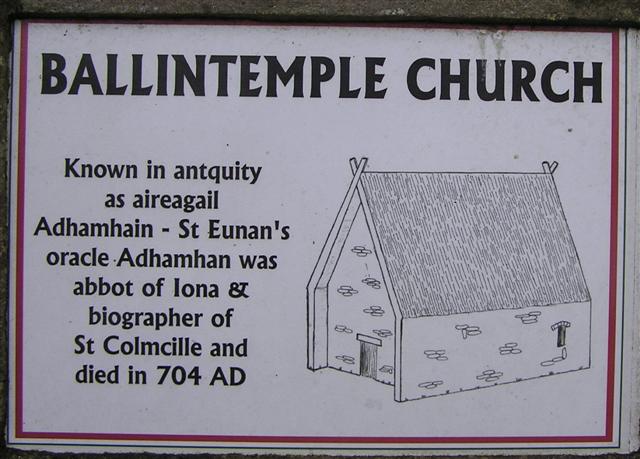 CHURCH, GRAVEYARD & BULLAUN ('FONT'): ERRIGAL CHURCH, ERRIGAL ADAMNAN or ST ADAMNAN'S CHURCH in BallintempleCHURCH, GRAVEYARD & BULLAUN ('FONT'): ERRIGAL CHURCH, ERRIGAL ADAMNAN or ST ADAMNAN'S CHURCH · 570 yd
 ENCLOSURE (O.S. memoir site, unlocated) in BallintempleENCLOSURE (O.S. memoir site, unlocated) · 1.2 mi
 Garvagh ForestForest · 1.6 mi
 Ulster War Memorial Clock TowerMemorial · 2.2 mi
 Ulster BankBank · 2.3 mi
 Gortnamoyagh ForestForest · 2.3 mi
 Killyvally BridgeBridge · 2.3 mi
 Legananam PotCliff · 3.7 mi
 Donald's HillMountain / peak · 4.2 mi
 Carn HillMountain / peak · 5.6 mi
 CHURCH & GRAVEYARD: KILREA OLD CHURCH or KILREA O'DIAMOND in KilreaCHURCH & GRAVEYARD: KILREA OLD CHURCH or KILREA O'DIAMOND · 7.7 mi
 DUNGIVEN CASTLE (PART OF WALLS) in DungivenDUNGIVEN CASTLE (PART OF WALLS) · 7.9 mi