What is recorded here
Two round huts, each about fifteen feet across, once stood in boggy pasture beside the Staigue river valley. Their walls rose only a few feet when last described, but even that little presence has vanished entirely. They sat below the great fort like forgotten satellites, perhaps shelters for keepers, workers or guests, yet the earth has taken back every stone and marker.
Located in boggy pasture, close to the head of the Staigue river valley, on its E side. Described by both Vallancey (in Coleman 1910, 211) and Westropp (1897, 318) as the foundations of two structures (KE099-020---- & KE099-020001-) of about 15 feet (4.75m) in diameter and situated 100 yards (91.44m) and 150 yards (137.14m) SSW of Staigue fort (KE099-013001-). At the time the walls of both survived only a few feet high. No trace of either hut remains visible today.
The above description is derived from A. O'Sullivan and J. Sheehan (compilers), 'The Iveragh peninsula: an archaeological survey of South Kerry'. Cork University Press (1996), no. 1450. In certain instances the entries have been revised and updated in the light of recent research.
Date of upload: 1 August 2013
The monument record does not grant public access. Check the route and ask the landowner before entering private land.
- What survives
- Recorded monument
Places near here
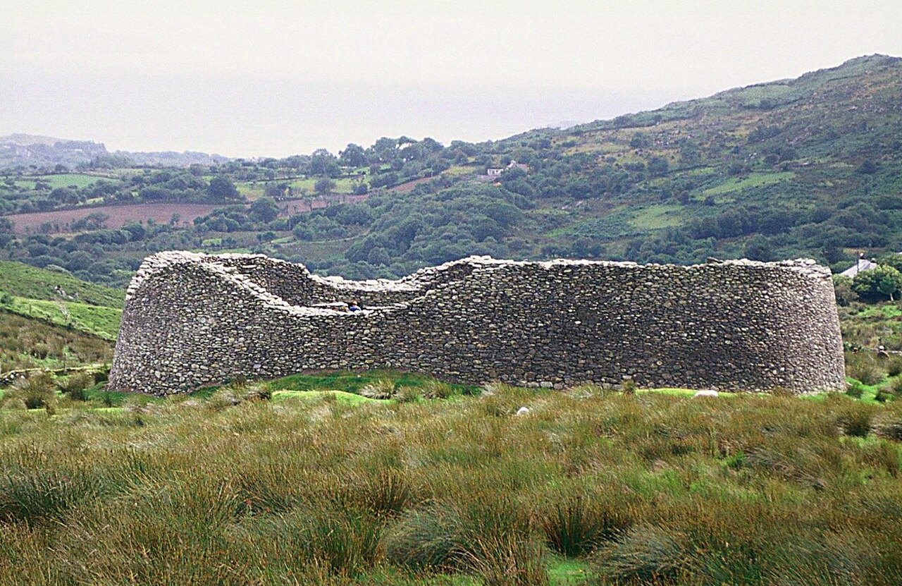 Staigue FortFairy fort / stone ringfort · 163 yd
 Enclosure in StaigueEnclosure · 170 yd
 Cnoc na Stéige (mullach thoir thuaidh)Mountain / peak · 1442 yd
 2Cliff · 1459 yd
 Cnoc na StéigeMountain / peak · 1689 yd
 Cowlagh (in Ruins)Church · 1.5 mi
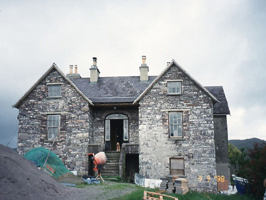 Scart Househouse · 1.8 mi
 IllaundraneIslet · 2.0 mi
 Castle Cove (in Ruins)Castle, tower house · 2.1 mi
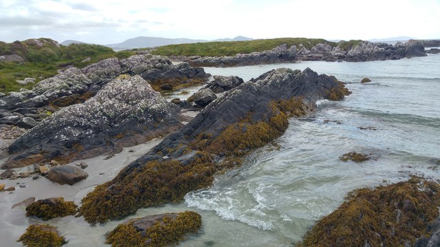 White StrandBeach / strand · 2.1 mi
 Reen BeachBeach / strand · 3.2 mi
 An PlaoscHeadland · 3.6 mi