What is recorded here
A subcircular area defined by an outline of stones. There are four erect stones along the E side, with a possible entrance between the middle stones. The rest of the 'foundation' is less well defined, with irregular stones along the S, and only random stones to the W and N. It measures 8.7m N-S x 6m E-W. It is situated at the W end of a ridge of rock outcrop. The field is used for grazing, but other outcrops obscure any view.
The above description was derived from the 'Archaeological Survey of County Donegal. A description of the field antiquities of the County from the Mesolithic Period to the 17th century.' Compiled by: Brian Lacey with Eamon Cody, Claire Cotter, Judy Cuppage, Noel Dunne, Vincent Hurley, Celie O'Rahilly, Paul Walsh and Seán Ó Nualláin (Lifford: Donegal County Council, 1983). In certain instances the entries have been revised and updated.
Date of upload: 22 September 2008
The monument record does not grant public access. Check the route and ask the landowner before entering private land.
- What survives
- Recorded monument
Places near here
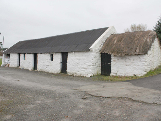 outbuildingoutbuilding · 1192 yd
 North Polerailway station · 1.1 mi
 Kinnagoe Stone RingfortFairy fort / stone ringfort · 1.3 mi
 Enclosure in FoffanaghEnclosure · 1.7 mi
 Slieve MainMountain / peak · 2.4 mi
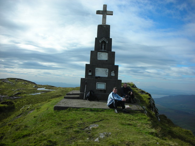 BulbinMountain / peak · 3.1 mi
 Stragill BeachBeach / strand · 3.6 mi
 O'Doherty's KeepCastle · 3.6 mi
 Glendowen craft shopHeritage attraction · 3.6 mi
 Neds Point FortFort · 3.8 mi
 Lady's Bay, BuncranaOfficial bathing water · 4.1 mi
 Gap of MarmoreHeritage attraction · 4.8 mi