What is recorded here
Located on the SW side of the interior of enclosure (SL008-104002-), against the inner face of the bank of Rosses Upper rath (SL008-104001-). Circular flat-bottomed depression (diam. 2.4m) defined by an bank of earth and stone (Wth 1.8m; int. H 0.3m). A break (Wth 0.8m) in the bank at N marks the position of the original entrance.
Compiled by: Patrick F. O'Donovan
Date of upload: 21 April 2011
The monument record does not grant public access. Check the route and ask the landowner before entering private land.
- What survives
- Recorded monument
Places near here
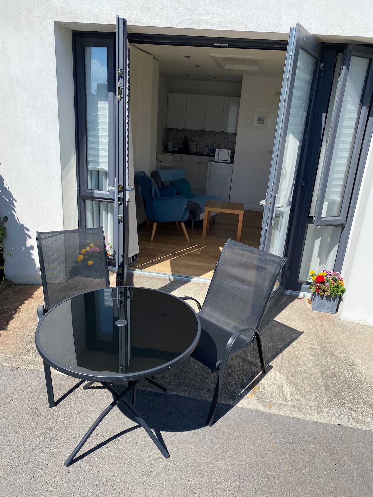 Enclosure in Rosses UpperEnclosure · 8 yd
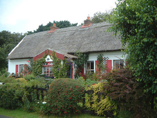 An Sean Tuíhouse · 677 yd
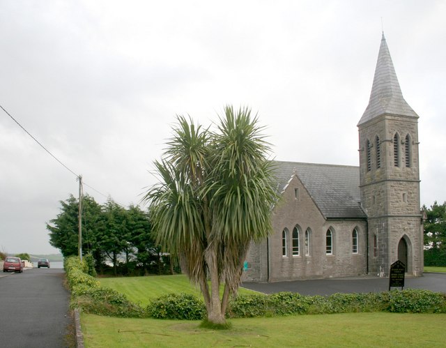 Rosses Point Church (Drumcliff)church/chapel · 747 yd
 LiscarraghFairy fort / earthen ringfort · 1015 yd
 Waiting on ShoreMemorial · 1617 yd
 Oyster IslandIslet · 1.0 mi
 Rosses Point BeachBeach / strand · 1.0 mi
 Drumcliff BayBay · 1.4 mi
 Finned PointHeadland · 1.4 mi
 CastleCastle, unclassified · 1.8 mi
 Coney IslandIsland · 2.0 mi
 Doonanpatrick IslandIslet · 2.2 mi