What is recorded here
Rossanean holds a vanished hut inside a rath, visible only through a shadow caught in an aerial photograph. The ground itself has forgotten the walls, keeping only faint eastern and western ridges that suggest repeated human effort. What is absent becomes the shape of the place: a room removed from memory but still marked by the slope of the earth.
Within the N sector of a rath (KE048-092----). A small, faint irregular feature crossed by E-W cultivation ridges is visible in an aerial photograph (CDASAP) taken in August 1986). This possible hut site is not visible at ground level. An uneven ground surface, possibly indicating cultivation ridges, was noted in the area during inspection. (Castleisland District Archaeological Survey)
Compiled by: Elizabeth Byrne, Ursula Egan and Sheila Ronan, Archaeological Survey Unit, University College, Cork.
Date of upload: 31 January 2011
The monument record does not grant public access. Check the route and ask the landowner before entering private land.
- What survives
- Recorded monument
Places near here
 Enclosure in ReavaunEnclosure · 1368 yd
 LissabamarkyFairy fort / earthen ringfort · 1432 yd
 Gortshanavogh Br.Bridge · 1.4 mi
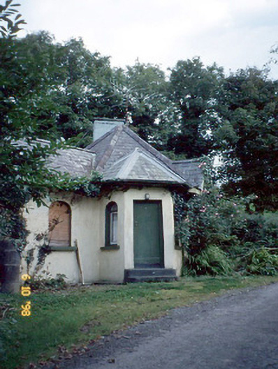 Dicksgrovegate lodge · 1.6 mi
 Site of Currans CastleCastle, unclassified · 3.4 mi
 Fieries CastleCastle · 3.4 mi
 Aghadoe Early Medieval Ecclesiastical SiteHeritage attraction · 5.6 mi
 Famine MemorialMemorial · 6.0 mi
 GinkgoGinkgo · 6.2 mi
 Kerry 2nd Brigade of the Irish Republican ArmyMemorial · 6.3 mi
 Circular WalkWalking route · 6.5 mi
 Giant SequoiaGiant Sequoia · 6.5 mi