What is recorded here
About 20m east of the inner enclosure (DG089-018are the remains of another hut-site (Fig 18, F). It is sub-rectangular in plan, 2 by 5m internally with walls c. lm thick. The interior courses of the north wall survive, 0.6m high, and the north-east corner is concave in plan. The structure is surrounded on the east by a low semi-circular, grass-covered bank, 0.5m wide by 0.3m high, which joins a mass of wall-collapse and rubble to the north. (Walsh 1983, 55, Fig. 18, F)
Compiled by: Paul Walsh
Date of upload: 2 February 2014
The monument record does not grant public access. Check the route and ask the landowner before entering private land.
- What survives
- Recorded monument
Places near here
 Church in Reachlainn Uí BhirnChurch · 40 yd
 Rathlin O'Birne IslandIslet · 204 yd
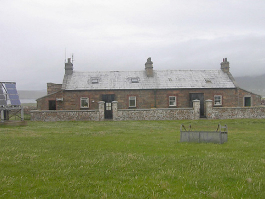 Teach Solais an Reachlainn Uí Bhirnoutbuilding · 503 yd
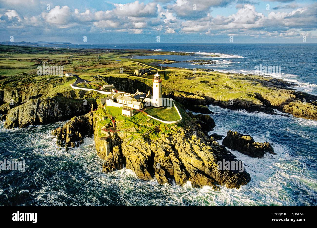 An EibhearIslet · 613 yd
 Trabane Bay Coastal Promontory FortPromontory fort, coastal · 1.3 mi
 Malin Beg Signal TowerSignal tower · 1.3 mi
 Silver Strand ViewpointViewpoint · 1.9 mi
 An Trá BhánBeach / strand · 2.0 mi
 Rossan PointHeadland · 3.1 mi
 An Trá Bheag (Trá Bheag an Ghleanna)Beach / strand · 4.4 mi
 Glencolmcille Folk VillageMuseum · 4.5 mi
 Slieve LeagueMountain / peak · 4.8 mi