What is recorded here
A sub-circular area measuring 5m N-S and 6m E-W enclosed by a simple line of stones which survive well on the S but are just traceable over the rest of the circumference. Some loose stones lie about. It is located in a sand-covered area overlooking a stream 20m to the S and about 100m E of the coast. To the S of the stream is good grazing.
The above description was derived from the 'Archaeological Survey of County Donegal. A description of the field antiquities of the County from the Mesolithic Period to the 17th century.' Compiled by: Brian Lacey with Eamon Cody, Claire Cotter, Judy Cuppage, Noel Dunne, Vincent Hurley, Celie O'Rahilly, Paul Walsh and Seán Ó Nualláin (Lifford: Donegal County Council, 1983). In certain instances the entries have been revised and updated.
Date of upload: 22 September 2008
The monument record does not grant public access. Check the route and ask the landowner before entering private land.
- What survives
- Recorded monument
Places near here
 Trá Phoill a GhuillBeach / strand · 186 yd
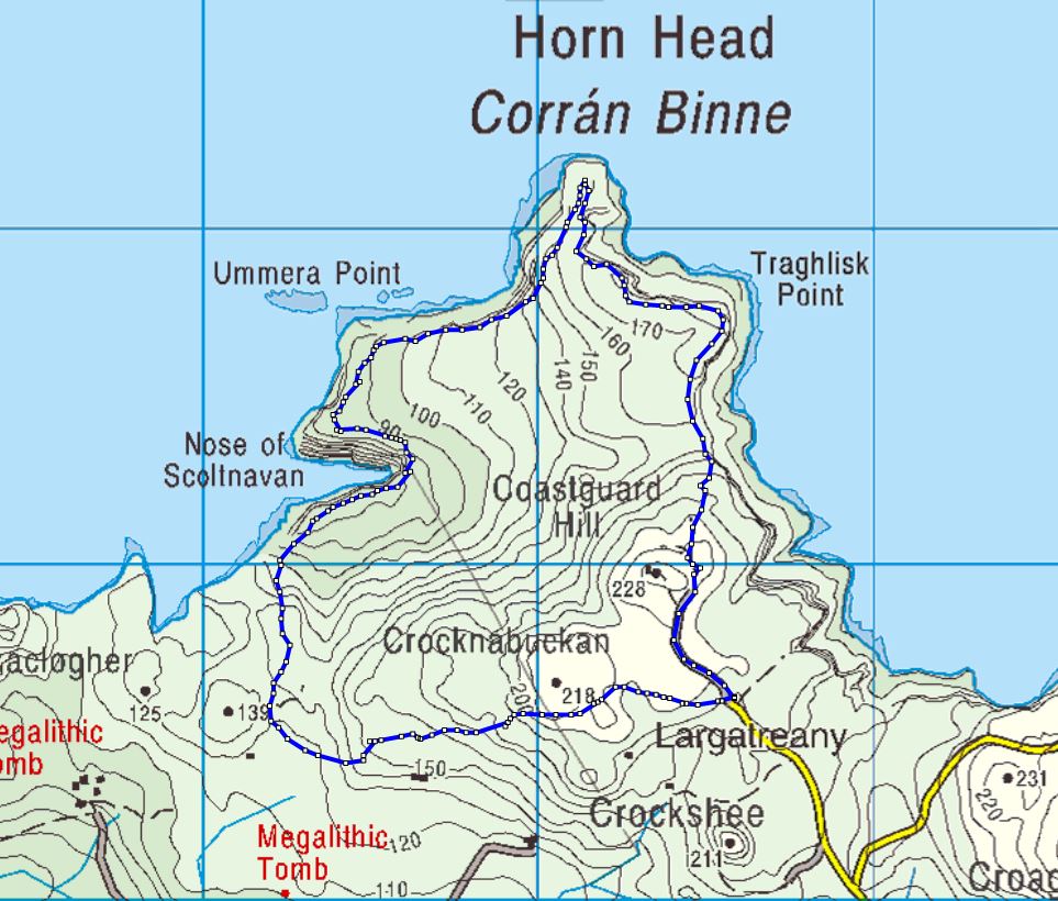 Cloghernagh Stone EnclosureEnclosure · 460 yd
 Cashelnaclogherny Stone FortFairy fort / stone ringfort · 488 yd
 Cliffs near Pollaguill BayPublicly named cliff or headland · 1007 yd
 Cliffs near ClagganPublicly named cliff or headland · 1071 yd
 Mc Swyne's GunHeritage attraction · 1178 yd
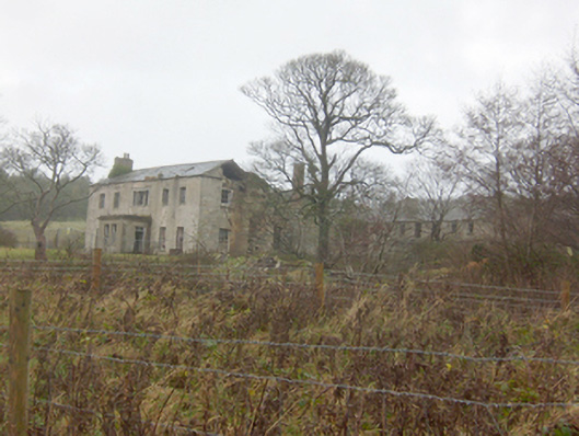 Horn Head Housecountry house · 1.1 mi
 Hornhead Bridgebridge · 1.4 mi
 Tramore StrandBeach / strand · 1.4 mi
 CrocksheeMountain / peak · 1.6 mi
 Castle (Site of)Castle, unclassified · 1.8 mi
 Coastguard HillMountain / peak · 1.8 mi