What is recorded here
A subcircular area (DG015-014001-) enclosed by a ruined stone wall. It is adjoined on the S by a smaller subcircular space c. 10m in diameter also surrounded by a ruined stone wall. The wall seems to have been originally 1.4m in width. There is a 5m square foundation in the interior of the main enclosure, defined by a grass-covered disturbed wall. The site is located at the base of a rock-strewn hill to its N, in rough pasture, with better land on the lower levels towards Sheephaven Bay.
The above description was derived from the 'Archaeological Survey of County Donegal. A description of the field antiquities of the County from the Mesolithic Period to the 17th century.' Compiled by: Brian Lacey with Eamon Cody, Claire Cotter, Judy Cuppage, Noel Dunne, Vincent Hurley, Celie O'Rahilly, Paul Walsh and Seán Ó Nualláin (Lifford: Donegal County Council, 1983). In certain instances the entries have been revised and updated.
Date of upload: 22 September 2008
The monument record does not grant public access. Check the route and ask the landowner before entering private land.
- What survives
- Recorded monument
Places near here
 Former Doongonaway EnclosureEnclosure · 858 yd
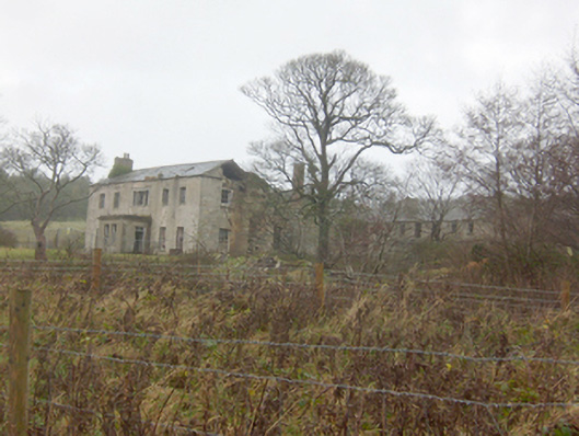 Horn Head Housecountry house · 1297 yd
 Castle (Site of)Castle, unclassified · 1311 yd
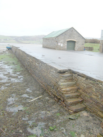 Dunfanaghy Pierpier/jetty · 1338 yd
 Lockheed Hudson bomber 1942Memorial · 1528 yd
 Claggan Stone RingfortFairy fort / stone ringfort · 1573 yd
 KillahoeyOfficial bathing water · 1637 yd
 CrocksheeMountain / peak · 1677 yd
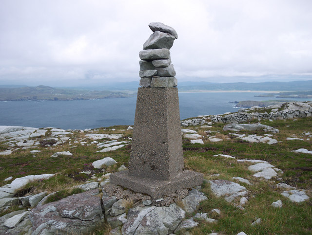 CroaghnamaddyMountain / peak · 1.1 mi
 Kill Old Church GraveyardGraveyard · 1.2 mi
 Trá Phoill a GhuillBeach / strand · 1.7 mi
 Mc Swynes CastleCastle, unclassified · 1.8 mi