What is recorded here
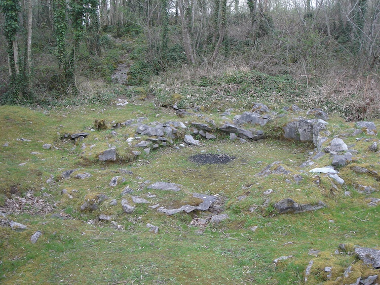
House 1 at Mooghaun South was an oval shelter built against rock in AD 723-97, its double-kerbed wall packed with rubble and a possible lined entrance opening east. A large sunken pit, perhaps two pits joined, took much of the floor, the northern part slab-faced and marked by in-situ burning. People may have cooked, smoked or kept warmth there, while House 2 and House 3 sat fifteen metres east and seventeen metres west-southwest, making a small cluster of lives beside the cashel.
Situated between the inner and middle ramparts of Mooghaun hillfort (CL042-074001-) in the SW quadrant of the hillfort and immediately N of a cashel (CL042-074002-). One of three hut sites in this area excavated in 1994 as part of the North Munster Project of the Discovery Programme. ‘House 1’, built against an area of rock outcrop to the N was an oval structure (max. ext. dims. 6.2m N-S; 2.6m E-W) defined by a double-kerbed wall (av. Wth 1.2m) with rubble fill, buttressed on the downslope side by a rubble ramp. A possible lined entrance (Wth 0.8-0.9m) feature was revealed at E. A large sunken feature, possibly comprising two separate pits, occupied a substantial portion of the inner floor area. The N pit was faced with slabs and had evidence for in situ burning. House 1 produced a radiocarbon date of AD 723-97. ‘House 2’ and ‘House 3’ lie 15m to the E and 17m to the WSW respectively. (Grogan 2005, vol. 1, 153-6)
Compiled by: Mary Tunney
Date of upload: 5 January 2016
The monument record does not grant public access. Check the route and ask the landowner before entering private land.
- What survives
- Recorded monument
Places near here
 IndicatedHillfort · 86 yd
 Mooghaun HillfortArchaeological place · 105 yd
 Enclosure in Mooghaun SouthEnclosure · 239 yd
 Mooghaun WoodsWood · 308 yd
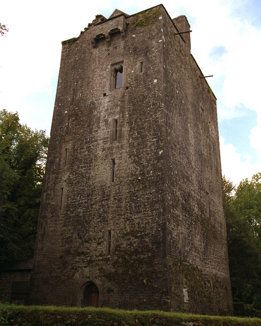 Mooghaun castleCastle · 501 yd
 Castle (in Ruins)Castle, unclassified · 1481 yd
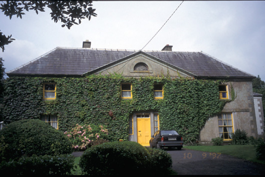 Newmarket Househouse · 1.6 mi
 Glenviewrailway station · 1.6 mi
 HawthornHawthorn · 1.8 mi
 Quin AbbeyHeritage attraction · 2.6 mi
 G.A.A. Commemorative StoneMemorial · 4.3 mi
 Irish Famine MemorialMemorial · 4.3 mi