What is recorded here
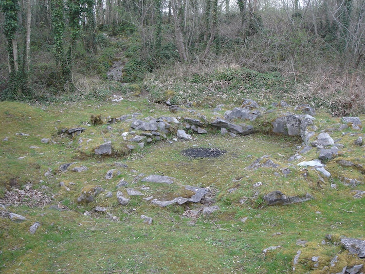
No visible building remains, but the ground still holds the shape of a small round room. The wall, floor and entrance have vanished under soil, grass or time. What is left is a gap in the landscape that can be walked around, touched and remembered.
Situated close to the inner face of the wall in the N quadrant of a cashel (CL042-074004-) on the NW perimeter of the outer rampart of Mooghaun hillfort (CL042-074001-). Indicated on the 1840 OS 6-inch map, this is a circular hut site (diam. 3.5m) defined by a double-kerbed wall with a rubble fill, identical to houses (CL042-074015- and CL042-074016-) excavated in 1994 as part of the North Munster Project of the Discovery Programme between the inner and middle ramparts of the hillfort at SW. The perimeter at N is partly obscured by rubble from the cashel wall but the house may have been free-standing. A slab-lined entrance faces west, away from the enclosure entrance. (Condit and Grogan 2005, 123; Grogan 2005, vol. 1, 159)
Compiled by: Mary Tunney
Date of upload: 5 January 2016
The monument record does not grant public access. Check the route and ask the landowner before entering private land.
- What survives
- Recorded monument
Places near here
 Mooghaun HillfortArchaeological place · 193 yd
 IndicatedHillfort · 219 yd
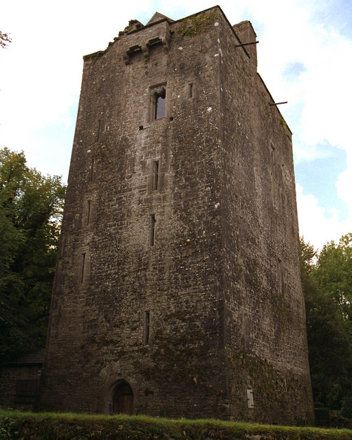 Mooghaun castleCastle · 328 yd
 Mooghaun WoodsWood · 332 yd
 Enclosure in Mooghaun SouthEnclosure · 442 yd
 Castle (in Ruins)Castle, unclassified · 1576 yd
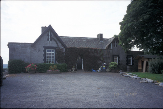 Glenviewrailway station · 1.5 mi
 belvederebelvedere · 1.5 mi
 HawthornHawthorn · 1.8 mi
 Quin AbbeyHeritage attraction · 2.5 mi
 G.A.A. Commemorative StoneMemorial · 4.2 mi
 Irish Famine MemorialMemorial · 4.2 mi