What is recorded here
In rough pasture, on level cutaway bog at the foot of the SE slopes of Miskish Mountain. The remains of a circular hut site (4.6m E-W; 4.4m N-S) defined by intermittent upright stone slabs (T 0.3m; H 0.2m) which protrude above the surface of the remaining shallow bog. The slabs, which are set contiguously along the perimeter, survive best SE- NW, where the largest slab (H 0.2m; 0.95m x 0.25m) occurs. The hut site is partially obscured by rushes.
The above description is derived from 'The Archaeological Inventory of County Cork. Volume 5' (Dublin: Stationery Office, 2009).
Date of upload: 22 December 2009
The monument record does not grant public access. Check the route and ask the landowner before entering private land.
- What survives
- Recorded monument
Places near here
 CairnCairn, unclassified · 367 yd
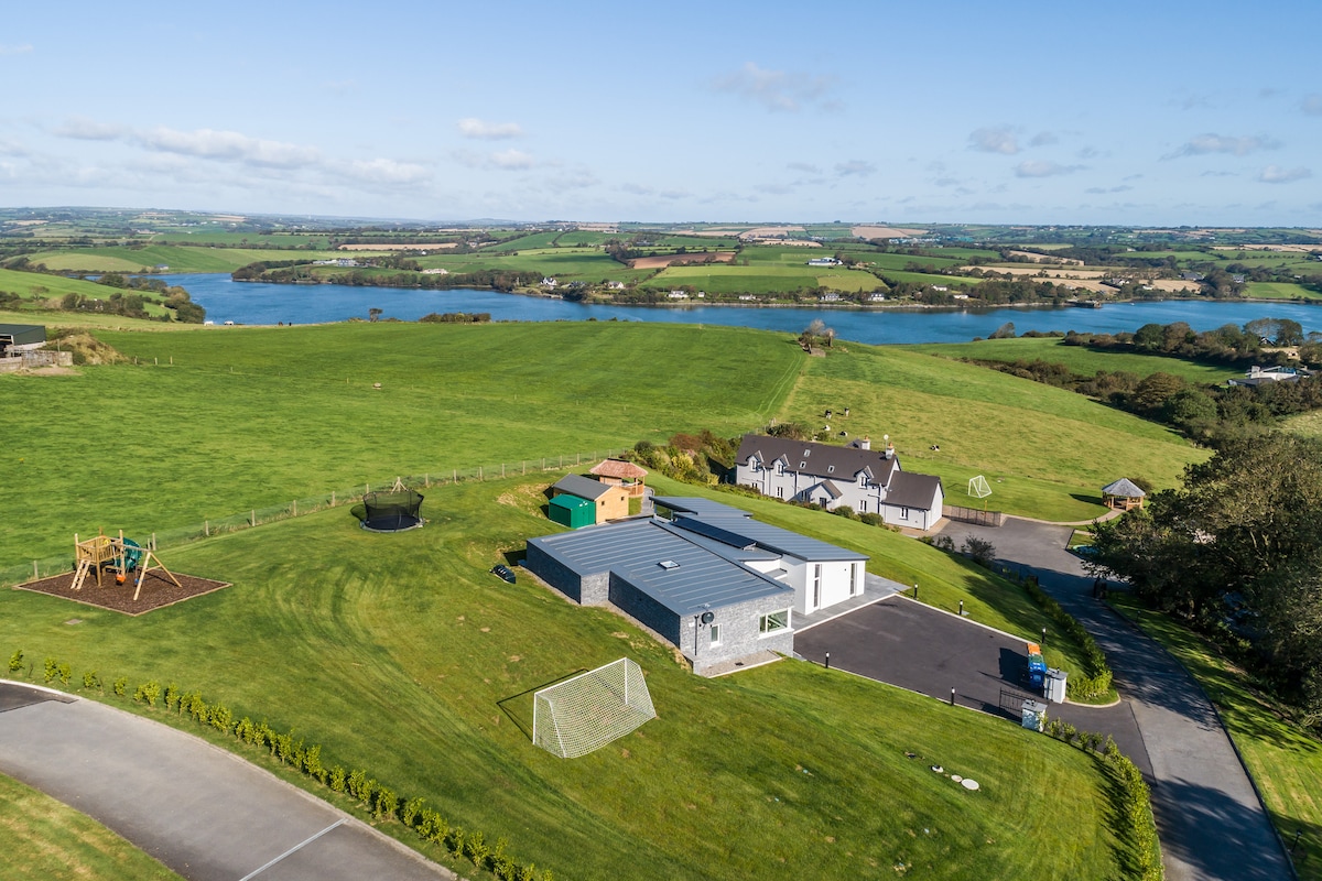 Hut site in Drom NorthHut site · 410 yd
 IndicatedRoad, road/trackway · 1.0 mi
 Miskish MountainMountain / peak · 1.1 mi
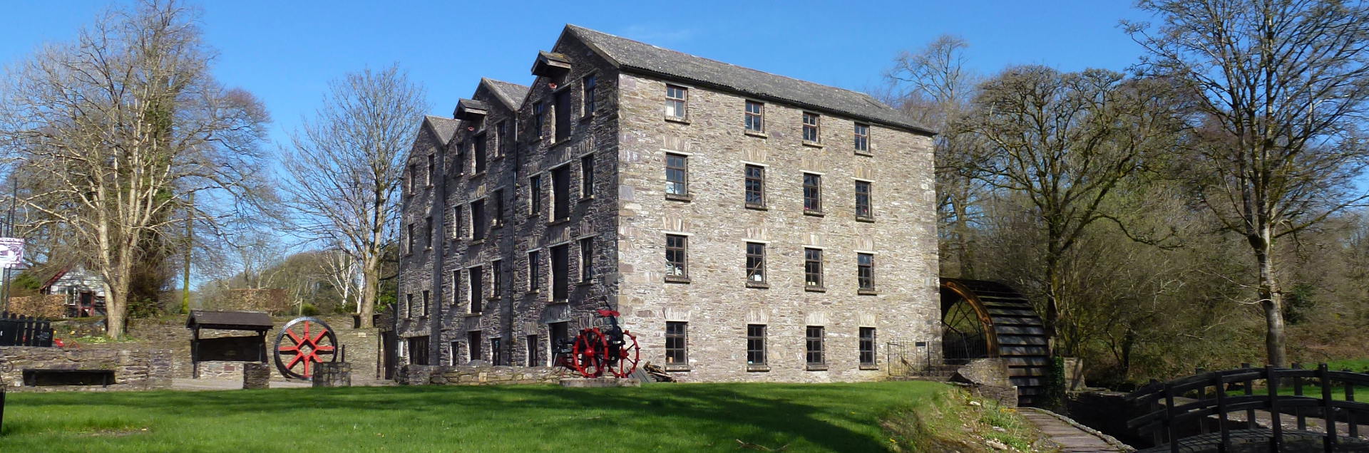 Tuck MillMill, fulling · 1.1 mi
 Sarah Walker GalleryGallery · 1.4 mi
 Berehaven Battalion MemorialMemorial · 1.5 mi
 Eagle HillMountain / peak · 1.6 mi
 Wild Atlantic WayVisitor information · 1.7 mi
 Dinish IslandIslet · 1.9 mi
 Pallas StrandBeach / strand · 2.1 mi
 Castle (in Ruins)Castle, tower house · 2.2 mi