What is recorded here
Croaghmarhin still holds the shape of a round fortress, its south bank dimpling into a shallow hollow where a small dwelling may have stood. Larger stone ridges across the north suggest a rectangular structure, perhaps roofed with fallen flags, while linear gaps hint at a hidden passage beneath the earth. The mound remains broad enough to walk around and tall enough to touch, preserving the ghost of a home built into the hillside.
Hut site described by Cuppage (1986, 170-71, no. 504) as follows; 'A substantial univallate rath [KE042-131----] containing traces of possible hut-sites and a possible Man-made underground passage. It abuts the W side of a roadway on the E slopes of Croaghmarhin. A roughly circular hollow, enclosed by a low band of earth and stones, occurs in the inner face of the bank at S. It is difficult to be certain that this is a hut-site as the bank is considerably disturbed in this sector. The hollow is c. 3m in diameter and the enclosing bank is up to 1.15m high and c. 2m wide. The entrance may have been in the N sector. A roughly L-shaped mound of earth and stones is located about 4m to NNE of the latter feature. It is c. 4.5m long E-W and c. 1.9m high. It may be the remains of a rectangular hut-site. Much of the N portion of the interior is occupied by irregular ridges and hollows, the mounds being composed chiefly of stone. They do not conform to any recognisable pattern but some linear hollows may indicate a Man-made underground passage [KE042-131002-] and some large prostrate slabs in the vicinity may be related to this. The largest mound measures 5.05m E-W and is up to 1.2m high. It may be the remains of the structure described by O'Sullivan (1931, 520) as 'a rectangular stone structure about 4 feet high, roofed with flags, one of which has fallen in.'
The monument record does not grant public access. Check the route and ask the landowner before entering private land.
- What survives
- Recorded monument
Places near here
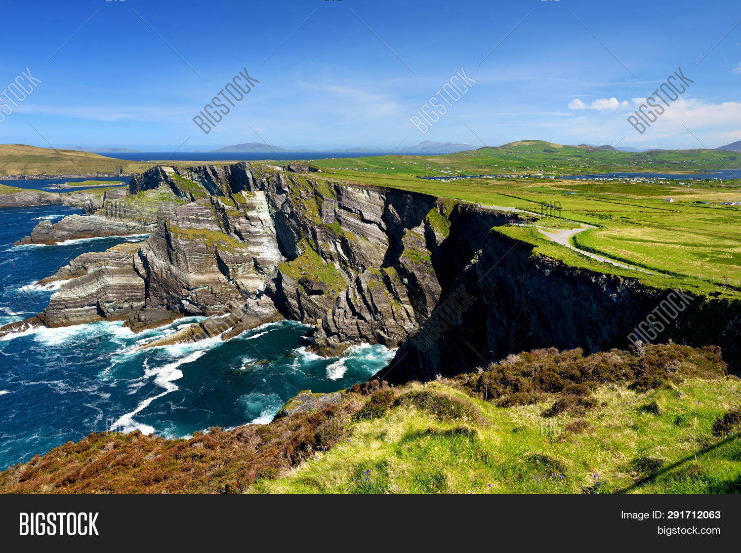 ToberoneHoly well · 238 yd
 CahernagatFairy fort / stone ringfort · 936 yd
 Cruach MhárthainMountain / peak · 1300 yd
 Penitential station in Baile An BhaoithínPenitential station · 1545 yd
 St Brendan's WellSpring · 1654 yd
 Ballineanig HillMountain / peak · 1.0 mi
 Church (in ruins)Church · 1.1 mi
 Músaem Chorca DhuibhneMuseum · 1.2 mi
 Rahinnane Castle (in ruins)Castle, tower house · 1.4 mi
 Riasc Monastic SettlementHeritage attraction · 1.7 mi
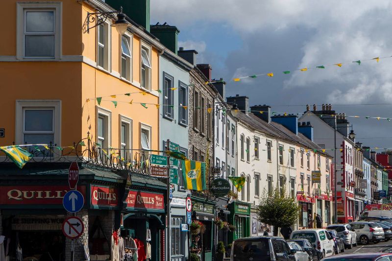 CúlfhaillCliff · 2.0 mi
 Faill na SaorCliff · 2.0 mi