What is recorded here
Within a ringfort (WI038-011----) which is situated on a gentle S-facing slope. Traces of a hut or house foundation (diam. 4.5m) are visible in the NE quadrant.
The above description is derived from the published 'Archaeological Inventory of County Wicklow' (Dublin: Stationery Office, 1997). In certain instances the entries have been revised and updated in the light of recent research.
Compiled by: Jean Farrelly
Date of upload/revision: 19 September 2012
The monument record does not grant public access. Check the route and ask the landowner before entering private land.
- What survives
- Recorded monument
Places near here
 IndicatedFairy fort / earthen ringfort · 12 yd
 Font in StranakellyFont · 647 yd
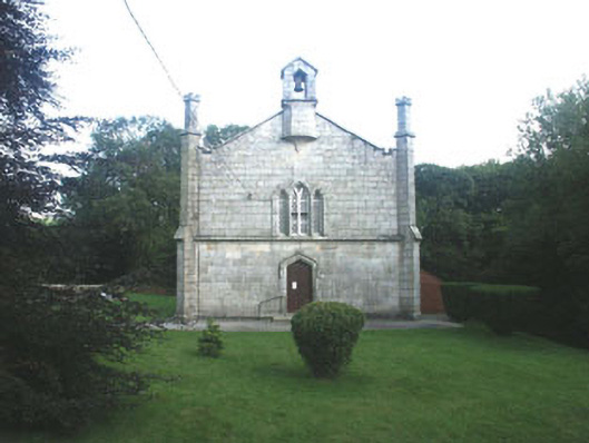 Mullinacuff Churchchurch/chapel · 894 yd
 Ballynultagh HillMountain / peak · 1.5 mi
 Clonmore Catholic Churchchurch/chapel · 2.0 mi
 Clonmore MoatCastle, motte and bailey · 2.3 mi
 Sweet ChestnutSweet Chestnut · 2.4 mi
 Clonmore Castle (in Ruins)Castle, Anglo-Norman masonry castle · 2.5 mi
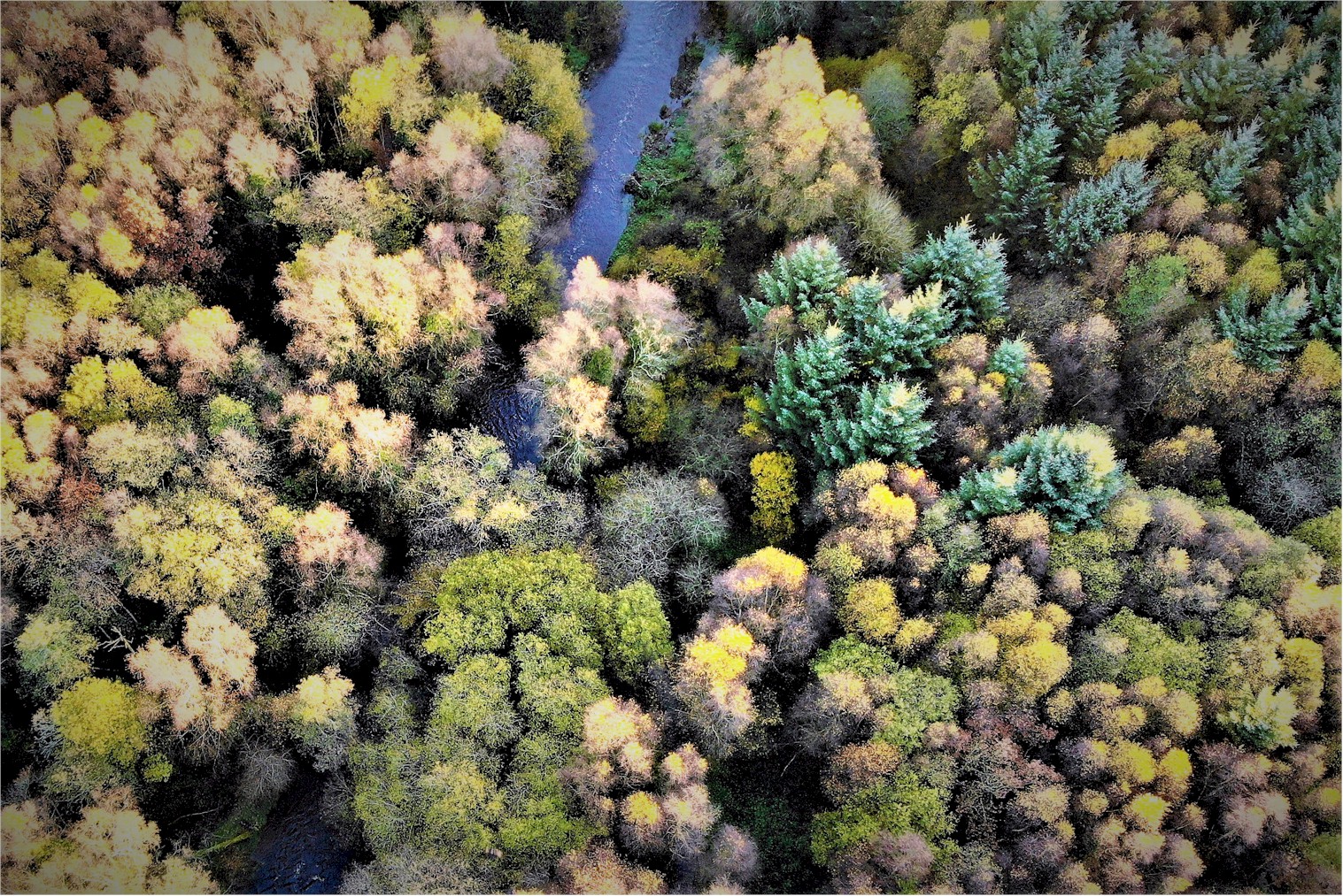 Tomnafinnoge WoodWood · 2.9 mi
 Church (in ruins), GraveyardChurch · 3.4 mi
 Eagle HillMountain / peak · 4.0 mi
 Luke O'Toole MemorialMemorial · 4.9 mi