What is recorded here
Knockanush West still hides a large single-ring fort with several hut sites inside, recorded by the Kerry Field Club in 1940 but never precisely located. The fort faced south, stood west of a possible burial mound on McMahon land, and shadowed a stronger fort southeast on the hill. Men may have lived there, buried their dead nearby, and vanished so completely that even the club’s own words point to a place no one can now find.
The precise location of a possible ringfort (KE028-100----) containing several hut sites in the townland of Knockanush West recorded in the Minute Book of County Kerry Field Club 03/02/1940 (Vol. 1, 81) has not been identified. The Kerry Field Club recorded that there is a possible burial mound (KE028-100---) on the lands of Mr. McMahon and 'west of this site on the lands of Mr. Kennelly is a large fort with only one ring, entrance to south and several hut sites found by the inside of the ring. South east from this fort on the side of the hill is a very strongly built fort'.
Compiled by: Caimin O'Brien
Date of upload: 14 June 2022
The monument record does not grant public access. Check the route and ask the landowner before entering private land.
- What survives
- Recorded monument
Places near here
 Man-made underground passage in Knockanush EastMan-made underground passage · 642 yd
 Field system in Knockanush East,knockanush West,slievenavadogeField system · 740 yd
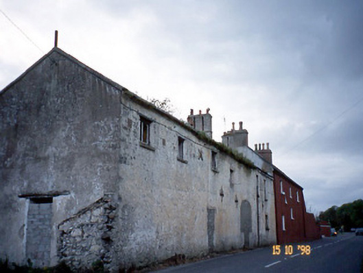 Kent Lodgegates/railings/walls · 1554 yd
 Clogherbrien Church (in ruins)Church · 1.3 mi
 CastleCastle, unclassified · 1.6 mi
 Site of CastleCastle, unclassified · 1.9 mi
 View of WindmillHeritage attraction · 2.4 mi
 Blennerville WindmillHeritage attraction · 2.5 mi
 Tralee Bay Wetlands Eco and Activity ParkNature reserve · 2.9 mi
 Statue of Roger CasementMemorial · 3.0 mi
 15th Centenary of the birth of St-BredanMemorial · 3.0 mi
 Ardfert Franciscan FriaryVisitor information · 3.1 mi