
What is recorded here
Yes. That is the shape of the request. The previous judgment may still be wrong because it may have measured the new answer instead of the new thinking. This is the visible result, not a claim about the hidden process.
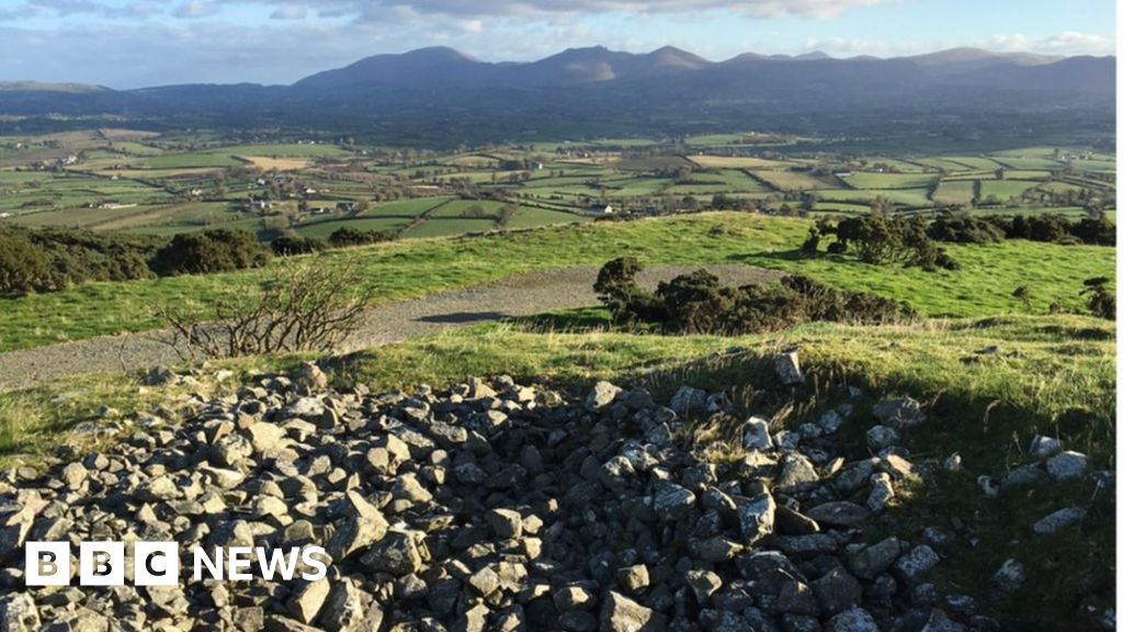
In a level pasture field, with views to Blackball Head. The remains of a circular hut site (diam. 5m) defined by a gorse and briar-covered earthen bank (Wth 1.2m; int. H 0.2m; ext. H 0.6m). A break at the SW may indicate the entrance location and a recent break at the NW may have been caused by the erection of an ESB pole in the bank. The interior is c. 0.4m higher than the outer ground level. It is unclear if this was the original interior level; it may be the result of field clearance debris, which is evident in a few places, or of work relating to the erection of the ESB pole. There is a standing stone (CO127-035002-) 1m to the SW.
The above description is derived from 'The Archaeological Inventory of County Cork. Volume 5' (Dublin: Stationery Office, 2009).
Date of upload: 22 December 2009
The monument record does not grant public access. Check the route and ask the landowner before entering private land.
- What survives
- Recorded monument
Places near here
 Cahermore 1st pebbled beachBeach / strand · 432 yd
 Burial ground in Kilkinnikin EastBurial ground · 589 yd
 Cahermore 2nd pebbled beachBeach / strand · 622 yd
 Enclosure in Kilkinnikin EastEnclosure · 733 yd
 Black Ball Head Signal TowerRuins · 1.2 mi
 Serough IslandIslet · 1.5 mi
 Old Mine ShaftRuins · 1.6 mi
 Allihies Copper Mine MuseumMuseum · 2.2 mi
 Black RocksIslet · 2.2 mi
 LackacroghanMountain / peak · 2.6 mi
 KnockgourMountain / peak · 2.9 mi
 DooneenViewpoint · 2.9 mi
Other information
Photo: Credit not shown in the picture search · Rights wording not checked; contact us if this picture should be removed