What is recorded here
Inishtooskert is the northernmost of the Blasket island group, where a small circular enclosure still stands within a modest field system. The structure may have begun as a human hut before becoming a sheep pen, yet it remains caught between those two lives. That change is not a loss but a continuation, because the island itself keeps using what people first shaped.
Inishtooskert, the northernmost of the Blasket island group, lies 4 miles off the W extremity of the Dingle Peninsula and 2.5 miles N of the Great Blasket. An area of 241 acres is bounded on all sides by sea-cliffs, and the land slopes upwards in a NW direction, from under 100 feet (30m) OD along the SE side to a maximum altitude of 573 feet (175m) roughly midway along the NW side of the island. The land is generally rocky with a thin soil cover and the N half of the island is devoid of any trace of settlement activity. Part of the S half of the island is occupied by a small field system, and it is within this that the Early Christian settlement, named after St. Brendan, is located.
(12) (KE051-001015-) A circular enclosure, 3.78 to 4m in diameter internally, defined by a combination of drystone walling, up to .6m high, and low uprights. There is a .6m wide entrance gap at E and a lintelled opening at W which leads into a small annex. The enclosure is probably used as a sheep-pen but may originally have been a hut.
The above description is derived from J. Cuppage, ‘Corca Dhuibhne. Dingle Peninsula archaeological survey. Ballyferriter. Oidhreacht Chorca Dhuibhne’ (1986), no. 844. In certain instances the entries have been revised and updated in the light of recent research.
Date of upload: 8 August 2013
The monument record does not grant public access. Check the route and ask the landowner before entering private land.
- What survives
- Recorded monument
Places near here
 Field system in Inis TuaisceartField system · 327 yd
 Inis TuaisceartIsland · 380 yd
 Church in Inis TuaisceartChurch · 392 yd
 Cliff-edge fort in An Blascaod MórCliff-edge fort · 3.0 mi
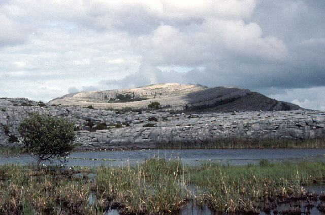 An Mullach RamharMountain / peak · 3.0 mi
 An Cró MórMountain / peak · 3.1 mi
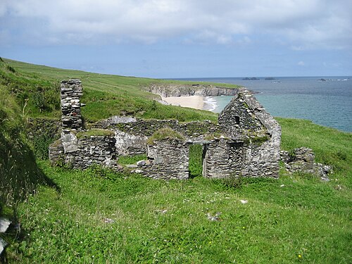 An Blascaod MórIsland · 3.1 mi
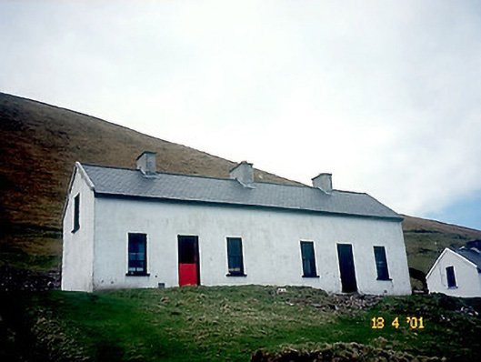 Tigh Peig Sayers [Peig Sayers's House]house · 3.4 mi
 Oileán na nÓgIslet · 3.5 mi
 An Dún MórHeadland · 4.7 mi
 Dunmore HeadViewpoint · 4.7 mi
 Mionnán an DúnaHeadland · 5.0 mi