What is recorded here
In rough pasture, at the confluence of two rivers. The remains of a rectangular hut site (3.8m N-S; 2.4m E-W) defined by a partially eroded grass-covered bank (Wth 0.6m; H 0.1-0.7m) which varies in height and contains several breaks. A gap at the NW corner may be the location of the entrance. Rushes obscure the interior. Another hut site (CO102-058002-) is 2m to the E.
The above description is derived from 'The Archaeological Inventory of County Cork. Volume 5' (Dublin: Stationery Office, 2009).
Date of upload: 22 December 2009
The monument record does not grant public access. Check the route and ask the landowner before entering private land.
- What survives
- Recorded monument
Places near here
 Hut site in GowlaneHut site · 217 yd
 Beara WayWalking route · 896 yd
 Hut site in Commons East (bear By.)Hut site · 1091 yd
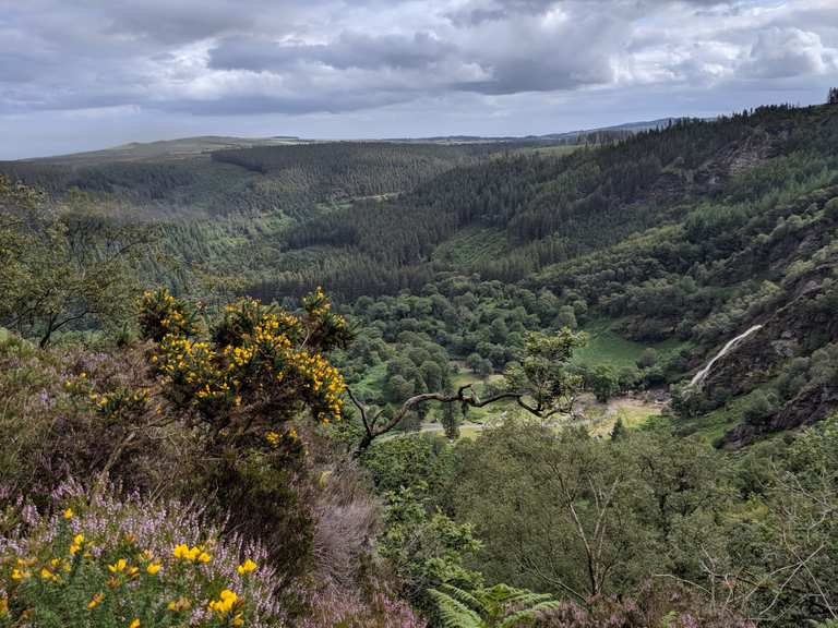 MaulinMountain / peak · 1.2 mi
 Eagle HillMountain / peak · 1.4 mi
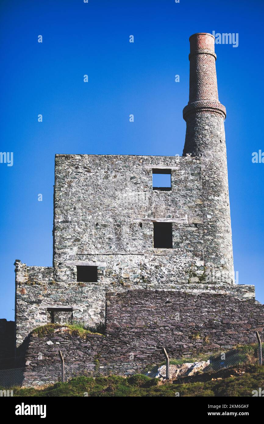 MineMine, copper · 1.8 mi
 Aghakista BrBridge · 2.7 mi
 Berehaven Battalion MemorialMemorial · 3.1 mi
 Minane IslandIslet · 3.2 mi
 Eyeries - Coastguard Station LoopWalking route · 3.2 mi
 Sarah Walker GalleryGallery · 3.2 mi
 Dinish IslandIslet · 3.2 mi