What is recorded here
Goulacullin is a hidden hut site in County Cork where a beehive-shaped dwelling may have stood before disappearing from memory. O'Donoghue placed it near Barraboy, but nobody has found the exact stones since. The hills still graze rough and empty, keeping the dwelling's shape only in a book and a vanished address.
In rough rocky hill grazing to the W of Barraboy. O'Donoghue (1986, 71) refers to 'the remains of a prehistoric dwelling, beehive-shaped and probably thatched' on 'Barrboy-Barr Buidhe (yellow summit)' at the centre of Goulacullin townland. O'Donoghue (ibid.), however, did not specify the exact location. The area around the summit and the surrounding hillsides were searched and no trace of this possible hut site could be located. A mast is erected in this area indicating trials for a windmill.
The above description is derived from 'The Archaeological Inventory of County Cork. Volume 5' (Dublin: Stationery Office, 2009).
Date of upload: 22 December 2009
The monument record does not grant public access. Check the route and ask the landowner before entering private land.
- What survives
- Recorded monument
Places near here
 Hut site in GoulacullinHut site · 1505 yd
 Mass-rock in Farnanes (carbery E. (w.d) By.)Mass-rock · 1760 yd
 Nowen HillMountain / peak · 1.2 mi
 Quarry in GlanycarneyQuarry · 1.6 mi
 Nowen Hill SW TopMountain / peak · 1.9 mi
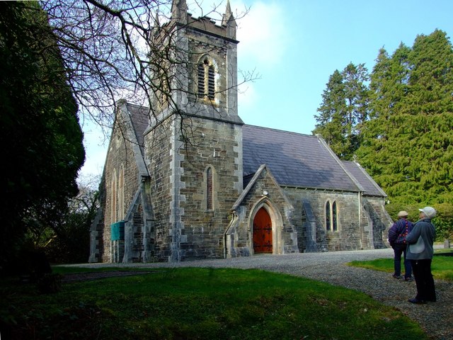 St. Edmund's Church of Ireland Churchchurch/chapel · 2.5 mi
 St Finbarr's Pilgrim RouteWalking route · 3.4 mi
 Castle Donovan (in Ruins)Castle, tower house · 3.7 mi
 Castle DonovanCastle · 3.7 mi
 Delish Cascade WalkWalking route · 4.2 mi
 Gortnahoughtee Mass RockNamed rock · 5.6 mi
 Graveyard in ToughmacdermodyGraveyard · 6.8 mi