What is recorded here
In pasture, 20m N of, and possibly associated with, cashel (MA121-073001-). Roughly circular area (diam. 6.4m N-S) defined by stone wall (Wth 1.2m; H 0.4m), one course high.
The above description has been derived from D. Lavelle (compiler), An Archaeological Survey of Ballinrobe and District including Lough Mask and Lough Carra. Lough Mask and Lough Carra Tourist Development Association (1994), No. 558.
Date of upload: 20 January 2015
The monument record does not grant public access. Check the route and ask the landowner before entering private land.
- What survives
- Recorded monument
Places near here
 Enclosure in Ballyhenry OR CaraunEnclosure · 335 yd
 IndicatedFairy fort / ringfort · 364 yd
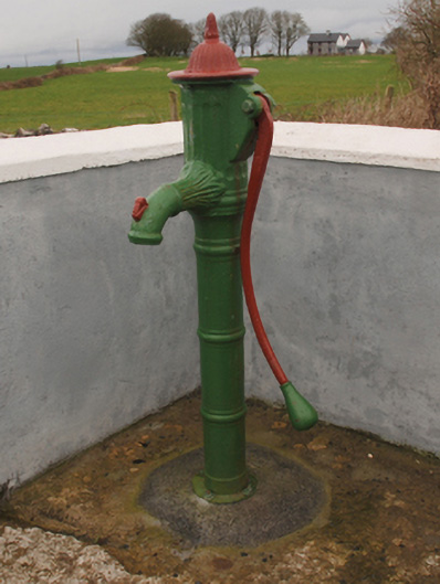 water pumpwater pump · 1438 yd
 Bawn in Cregduff (kilmaine By., Kilmainemore Par.)Bawn · 1461 yd
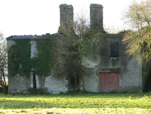 Fountainhillfarm house · 1479 yd
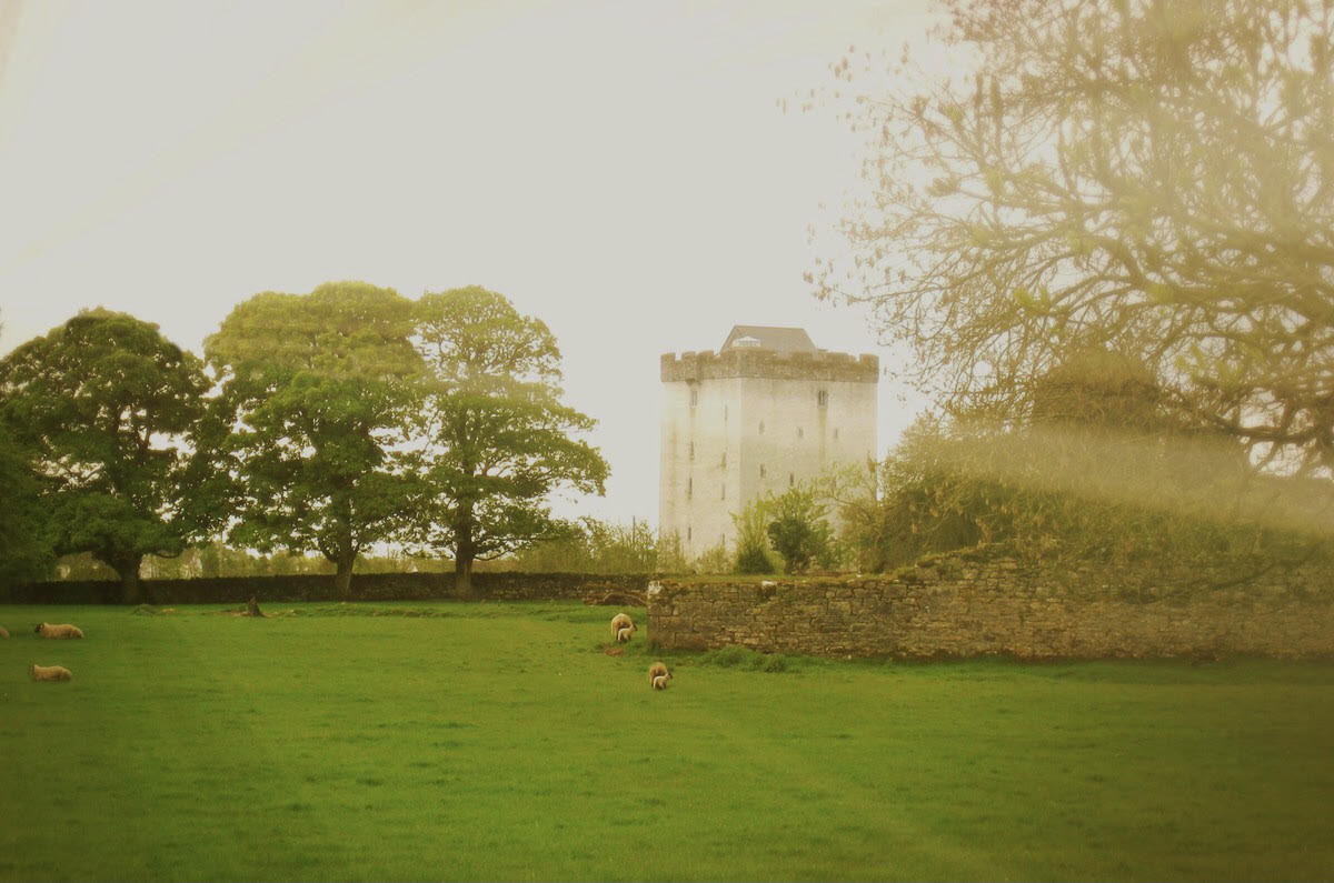 Castle in ruinsCastle, tower house · 1.3 mi
 Cregg PlantationForest · 2.2 mi
 Pesooge PlantationForest · 2.7 mi
 Gibbs IslandsIslet · 5.0 mi
 Red Island RockIslet · 5.7 mi
 School of FalconryHeritage attraction · 7.1 mi
 Ard na GaoitheHeritage attraction · 7.8 mi