What is recorded here
Mullagh More still holds a small hollow where a grassed-over stone wall traces an irregular room, perhaps eight metres long and seven wide. A cairn waits one hundred and thirty-five metres to the northwest, marking the hilltop while the hidden chamber waits below. Someone may have knelt there in rain or watched the valley change light, leaving only a curve of stones for others to imagine.
In a hollow on the SE slopes of Mullagh More. A possible irregularly shaped hut site (c. 8 N-S; c. 7m E-W) defined by a grassed-over stone wall, visible on Digital Globe (2011-2013) and on OSi MapGenie (2013-2018). Noted by Conn Herriott. A cairn lies c. 135m to the NW on top of the hill.
Compiled by: Mary Tunney and Conn Herriott
Date of upload: 20 June 2023
The monument record does not grant public access. Check the route and ask the landowner before entering private land.
- What survives
- Recorded monument
Places near here
 Mullagh MoreMountain / peak · 157 yd
 Slieve RoeMountain / peak · 854 yd
 Enclosure in GlenquinEnclosure · 1.1 mi
 Enclosure in GortleckaEnclosure · 1.1 mi
 Castle (in ruins)Castle, unclassified · 1.3 mi
 Glenquin Housefarm house · 1.3 mi
 Father Ted's HouseHeritage attraction · 1.3 mi
 Correen R.C. Chapel (in ruins)Church · 1.4 mi
 Burren National ParkVisitor information · 1.7 mi
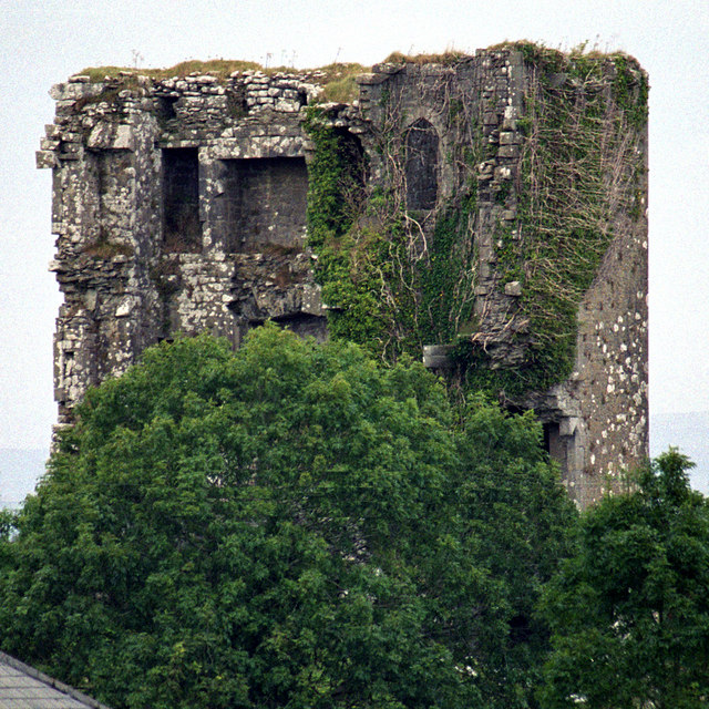 Kilkeedy Castle (in ruins)Castle, tower house · 2.6 mi
 Farbrega RockNamed rock · 4.7 mi
 Battle of TullyodeaBattlefield · 4.9 mi