
What is recorded here
Against the N stone field boundary in a heavily overgrown pasture field, on a gentle N-facing slope overlooking Roaringwater Bay. The remains of a D-shaped hut site (2.1m N-S) defined by a curving bank (Wth 1m; H 0.5m) of earth and stone with a straight S side (L 2.2m). The bank is obscured by long grass. The field wall at S appears to overlay the bank giving the hut site its present D-shaped appearance.
The above description is derived from 'The Archaeological Inventory of County Cork. Volume 5' (Dublin: Stationery Office, 2009).
Date of upload: 22 December 2009
The monument record does not grant public access. Check the route and ask the landowner before entering private land.
- What survives
- Recorded monument
Places near here
 Cape Clear Lighthouselighthouse · 131 yd
 Cape Clear Signal TowerRuins · 148 yd
 Passage tomb art in Crathach Thiar (cléire)Passage tomb art · 655 yd
 CléireIsland · 785 yd
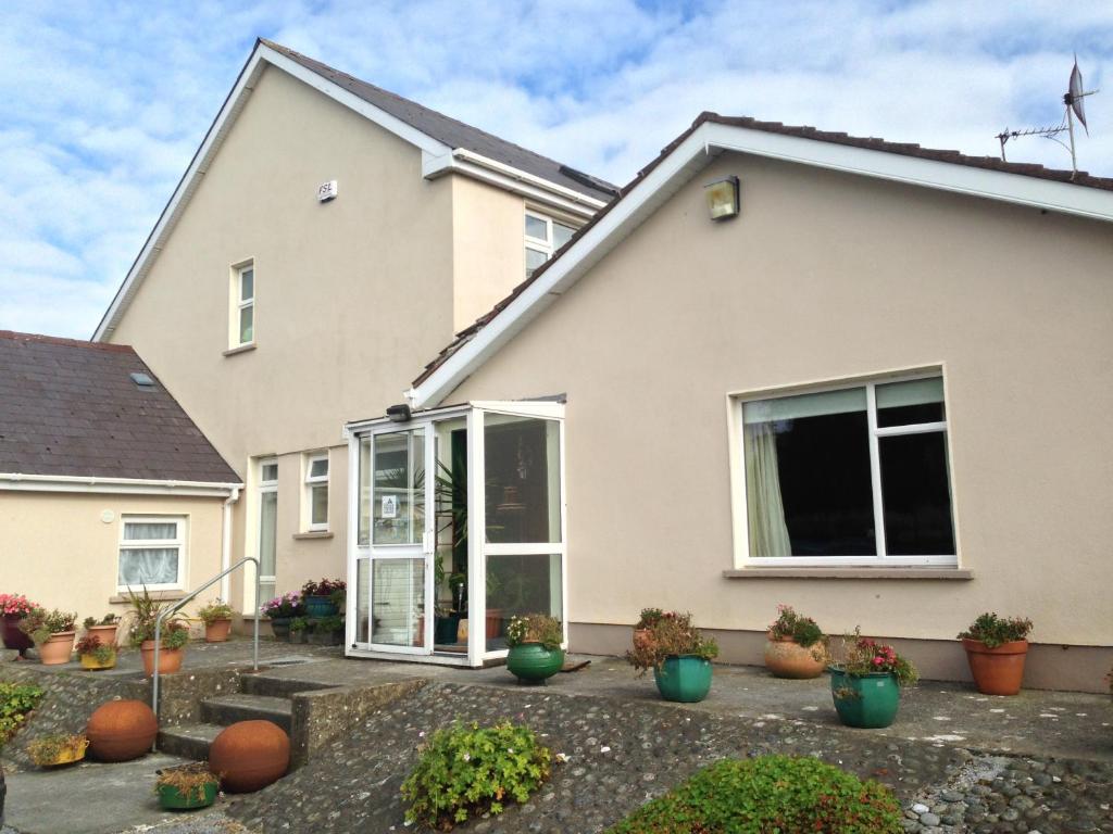 An Gleann LoopWalking route · 889 yd
 Cape Clear MuseumMuseum · 1189 yd
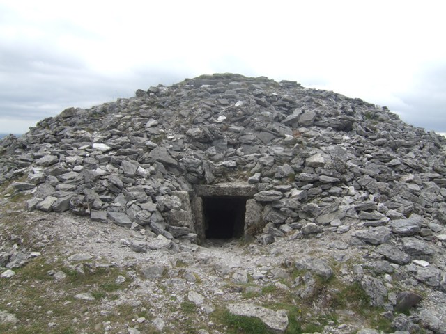 Passage tomb in Cill Leice Fórabháin (cléire)Passage tomb · 1244 yd
 Oifig Fáilte Siopa CeirdVisitor information · 1596 yd
 Trá CiaráinBeach / strand · 1645 yd
 Wild Atlantic Way: CléireVisitor information · 1661 yd
 O'Driscoll CastleCastle · 1.3 mi
 Doonanore Castle (in Ruins)Castle, tower house · 1.3 mi
Other information
Photo: Credit not shown in the picture search · Rights wording not checked; contact us if this picture should be removed