What is recorded here
In pasture at base of rock outcrop. Roughly oval area (4.65m E-W; 3.6m N-S) defined by ring of eleven upright sandstone slabs set on end (average H 0.32m). Arc of three stones (average H 0.26m) set 0.72m outside inner ring at NE. On E side, three low stones set radially (one to N, two parallel to S) may revet entrance passage.
The above description is derived from the published 'Archaeological Inventory of County Cork. Volume 1: West Cork' (Dublin: Stationery Office, 1992). In certain instances the entries have been revised and updated in the light of recent research.
Date of upload/revision: 14 January 2009
The monument record does not grant public access. Check the route and ask the landowner before entering private land.
- What survives
- Recorded monument
Places near here
 gate lodgegate lodge · 523 yd
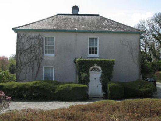 Castlehaven Houserectory/glebe/vicarage/curate's house · 530 yd
 Placenames & Their Amazing StoriesHeritage attraction · 607 yd
 Gleann BearcháinWood · 622 yd
 Kill Burial GdBurial ground · 641 yd
 ToberbarahaneHoly well · 683 yd
 Castlehaven StrandBeach / strand · 752 yd
 Castlehaven CastleCastle · 795 yd
 Carraig a' ShleáinMountain / peak · 933 yd
 Tráig EilínBeach / strand · 1079 yd
 Flea IslandIslet · 1440 yd
 West Cork Quad AdventuresHeritage attraction · 1502 yd