What is recorded here
Situated on poorly drained rocky land. Small circular area (int. diam. 10.4m N-S; 9.2m E-W) enclosed by low earth and stone bank (Wth 1.1m; int. H 0.2m; ext. H 0.3m) and waterlogged shallow external fosse (Wth 4m; ext. D 0.2m). No entrance feature visible. Internal and external stone facing visible on enclosing bank.
Compiled by: Caimin O'Brien
Date of upload: 7 October 2015
The monument record does not grant public access. Check the route and ask the landowner before entering private land.
- What survives
- Recorded monument
Places near here
 DooeyOfficial bathing water · 1.2 mi
 Meenacross National Schoolschool · 1.4 mi
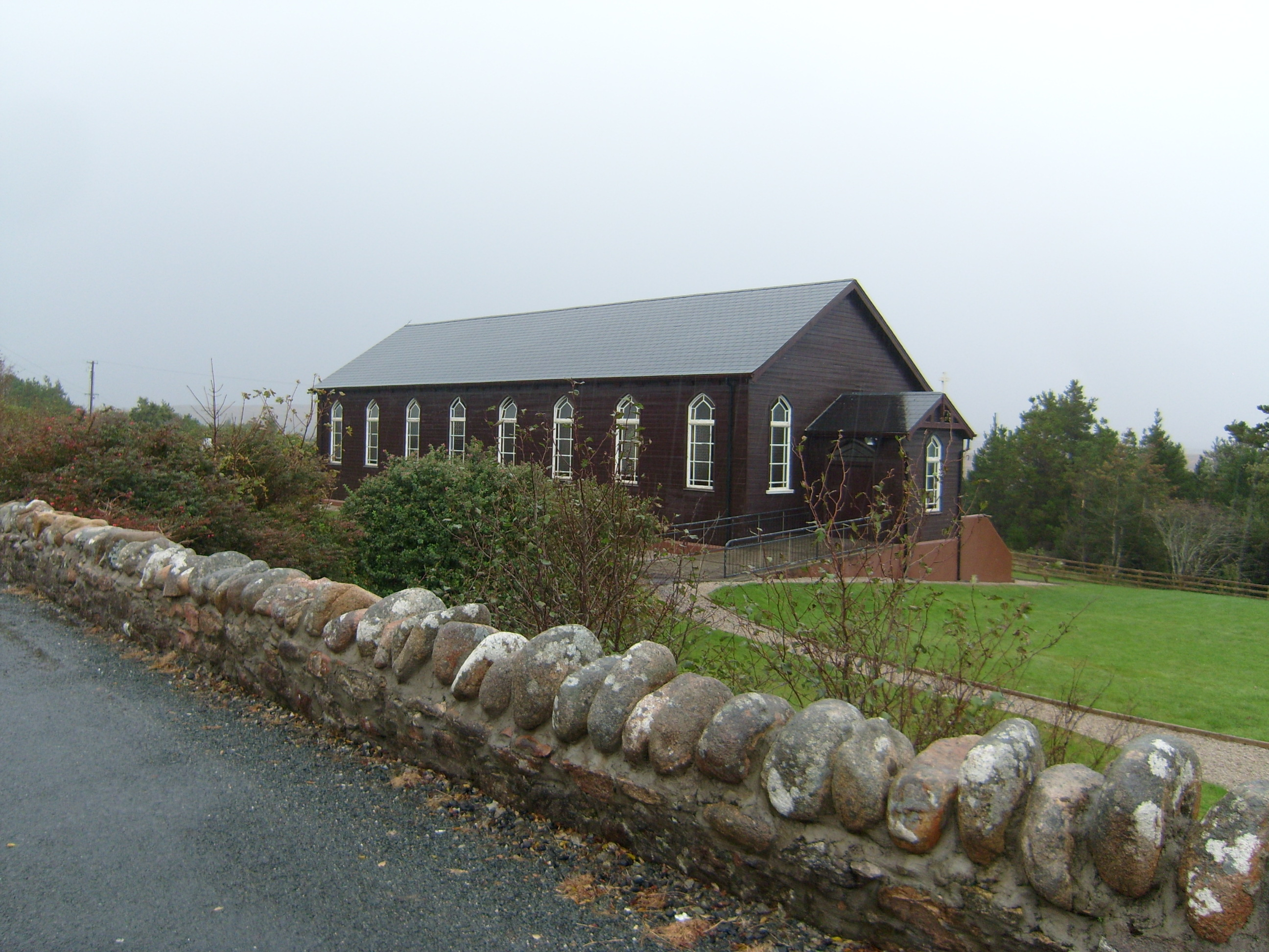 Saint Patrick's Catholic Churchchurch/chapel · 1.4 mi
 Drumlaghdrid HillMountain / peak · 2.3 mi
 CroaghnamaddyMountain / peak · 2.4 mi
 Lough Aghnish Promontory FortPromontory fort, inland · 2.8 mi
 An Chorr Double Stone RingfortFairy fort / stone ringfort · 3.2 mi
 Bonny Glen Wood - Bonny Glen walkOfficial walking route · 4.0 mi
 Bonny Glen WoodForest recreation place · 4.0 mi
 InishkeelIslet · 4.2 mi
 Wych ElmWych Elm · 4.2 mi
 Narin–Portnoo StrandOfficial bathing water · 4.4 mi