What is recorded here
Within a field system (KE067-090----). The remains of a circular hut (diam. 1.8m) defined by a grass-covered stone wall (T 0.55m; int. H 0.3m; ext. H 0.1m) which protrudes above the surface of the shallow bog and is largely obscured by overgrowth.
Compiled by: Elizabeth Byrne, Ursula Egan and Sheila Ronan, Archaeological Survey Unit, University College, Cork.
Date of upload: 31 January 2011
The monument record does not grant public access. Check the route and ask the landowner before entering private land.
- What survives
- Recorded monument
Places near here
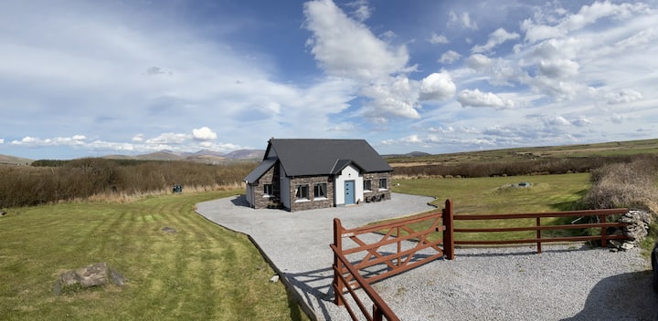 Hut site in DromickbaneHut site · 28 yd
 IndicatedFairy fort / earthen ringfort · 864 yd
 Owgarriff Br.Bridge · 1490 yd
 Blue Pool Nature ReserveWood · 1.2 mi
 Religious houseReligious house, Franciscan friars · 1.2 mi
 Sheheree Bog Nature ReserveNature reserve · 1.3 mi
 The Blue PoolGallery · 1.3 mi
 Muckross AbbeyHeritage attraction · 1.6 mi
 Flesk CastleCastle · 1.8 mi
 McCarthy Mor CastleCastle · 1.9 mi
 Osprey RockIsland · 2.0 mi
 A.W.B. (Billy) Vincent MemorialMemorial · 2.1 mi