What is recorded here
Drombeg hut site: forty-five metres east of the stone circle, people kept rebuilding one shelter. A C-shaped cave, then a round hut, then a figure-of-eight hut reusing an old doorway, then a causeway to the cooking place. Each generation took what the last had made and shaped it to its own hunger. The stones remember more than any single owner.
In pasture on a natural rock terrace on the S slope of a low hill, some 45m to the ESE of Drombeg stone circle (CO143-051002-). This multi-period site was excavated by Fahy (1960, 1-17). The site consists in a C-shaped shelter (Phase I) followed by a stone hut (Phase II), later demolished and replaced by a figure-of-eight-shaped stone hut, incorporating the doorway of an earlier hut (Phase IV), and contemporary with a roasting oven and the use of a fulacht fiadh (CO143-051003-); finally a causeway was built (Phase VIII), extending from Hut II to the fulacht fiadh. While the hut site and fulacht fiadh were in use later than the stone circle was erected, the burial excavated at the circle was first dated to BC 13 + or - 140 years, and the sample from beneath the fulacht fiadh was dated to AD 229 + or - 120 years, so that the upper-most date of the burial, 127 AD, and the earliest date of the cooking place, 109 AD, were thought to be close; considering that the fulacht fiadh may not be the earliest structure on the site, the excavator suggested that 'there is a possibility that the hut and cooking places at Drombeg were used, if not by those who initially erected the stone circle, at least by those who frequented the circle in later times' (Ibid., 15). However, a more recent analysis of the charcoal from the grave returned a radiocarbon date range of 1124-794 BC (Waddell 1998, 169), making it a lot older than believed by the excavators.
The above description is derived from the published 'Archaeological Inventory of County Cork. Volume 1: West Cork' (Dublin: Stationery Office, 1992). In certain instances the entries have been revised and updated in the light of recent research.
This is a National Monument in State Guardianship (no. 381).
See attached photographs
CO143-051001-_01: Aerial view directly above site, with hut site to the W of the modern rectangular enclosure.
CO143-051001-_02: Hut site from NW.
Date of upload/revision: 14 January 2009
Date of last revision: 27 June 2023
The monument record does not grant public access. Check the route and ask the landowner before entering private land.
- What survives
- Recorded monument
Places near here
 Drombeg Fulacht Fia and RuinsVisitor information · 12 yd
 Fulacht fia in Drombeg (carbery E. (w.d.) By.)Fulacht fia · 13 yd
 Stone CircleStone circle, multiple-stone · 55 yd
 Drombeg Stone CircleArchaeological place · 56 yd
 Drombeg Househouse · 451 yd
 Country house in Drombeg (carbery E. (w.d.) By.)Country house · 452 yd
 Walk 1 - Drombeg Standing Stone Circle (7 - 9 km)Walking route · 856 yd
 Trá an tAonaighBeach / strand · 1435 yd
 Prison CoveBeach / strand · 1.0 mi
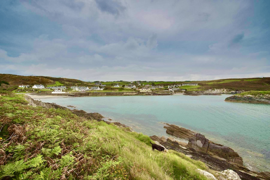 Faill na SeabhachCliff · 1.2 mi
 Long PointHeadland · 1.4 mi
 Eve IslandIslet · 1.4 mi