What is recorded here
A semicircle (of diameter 4.5m) of earthen bank .3m high and 1.5m wide, seems to be the SW half of an originally circular area. The site is located in an area of fairly good pasture overlooking Teelin Bay to the W.
The above description was derived from the 'Archaeological Survey of County Donegal. A description of the field antiquities of the County from the Mesolithic Period to the 17th century.' Compiled by: Brian Lacey with Eamon Cody, Claire Cotter, Judy Cuppage, Noel Dunne, Vincent Hurley, Celie O'Rahilly, Paul Walsh and Seán Ó Nualláin (Lifford: Donegal County Council, 1983). In certain instances the entries have been revised and updated.
Date of upload: 22 September 2008
The monument record does not grant public access. Check the route and ask the landowner before entering private land.
- What survives
- Recorded monument
Places near here
 Doire Leathan Coastal Promontory FortPromontory fort, coastal · 619 yd
 Mass-rock in Doire LeathanMass-rock · 892 yd
 IndicatedChurch · 1067 yd
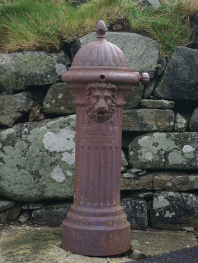 water pumpwater pump · 1136 yd
 Cliffs at TeelinPublicly named cliff or headland · 1140 yd
 Dundawoona Point / Pointe an DúinHeadland · 1.1 mi
 CroaghmuckrosMountain / peak · 2.2 mi
 TraloarBeach / strand · 2.3 mi
 International Appalachian Trail Ulster-IrelandWalking route · 2.4 mi
 TrabaneBeach / strand · 2.6 mi
 Slieve League SE TopMountain / peak · 2.7 mi
 Slieve LeagueMountain / peak · 3.2 mi