What is recorded here
Toward the landward end of Reenadrolaun Point, c. 80m NE of Coosnahorna, a deep, narrow inlet. Remains of the S half of a circular hut KE078-001----, occurring within an old field system. A double slab-lined wall with a stone infill occupying an area roughly 3.2m in internal diameter.
The above description is derived from A. O'Sullivan and J. Sheehan (compilers), 'The Iveragh peninsula: an archaeological survey of South Kerry'. Cork University Press (1996), no. 1258. In certain instances the entries have been revised and updated in the light of recent research.
Date of upload: 31 July 2013
The monument record does not grant public access. Check the route and ask the landowner before entering private land.
- What survives
- Recorded monument
Places near here
 Field boundary in DohillaField boundary · 108 yd
 Tetrapod TrackwayArchaeological place · 371 yd
 Slate QuarryQuarry · 920 yd
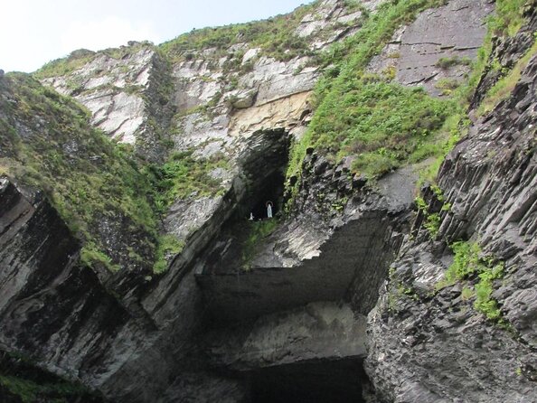
 The GrottoCave · 961 yd
 GeokaunMountain / peak · 1052 yd
 Fogher CliffCliff · 1067 yd
 Church in Feaghmaan WestChurch · 1.0 mi
 Cromwell PointHeadland · 1.2 mi
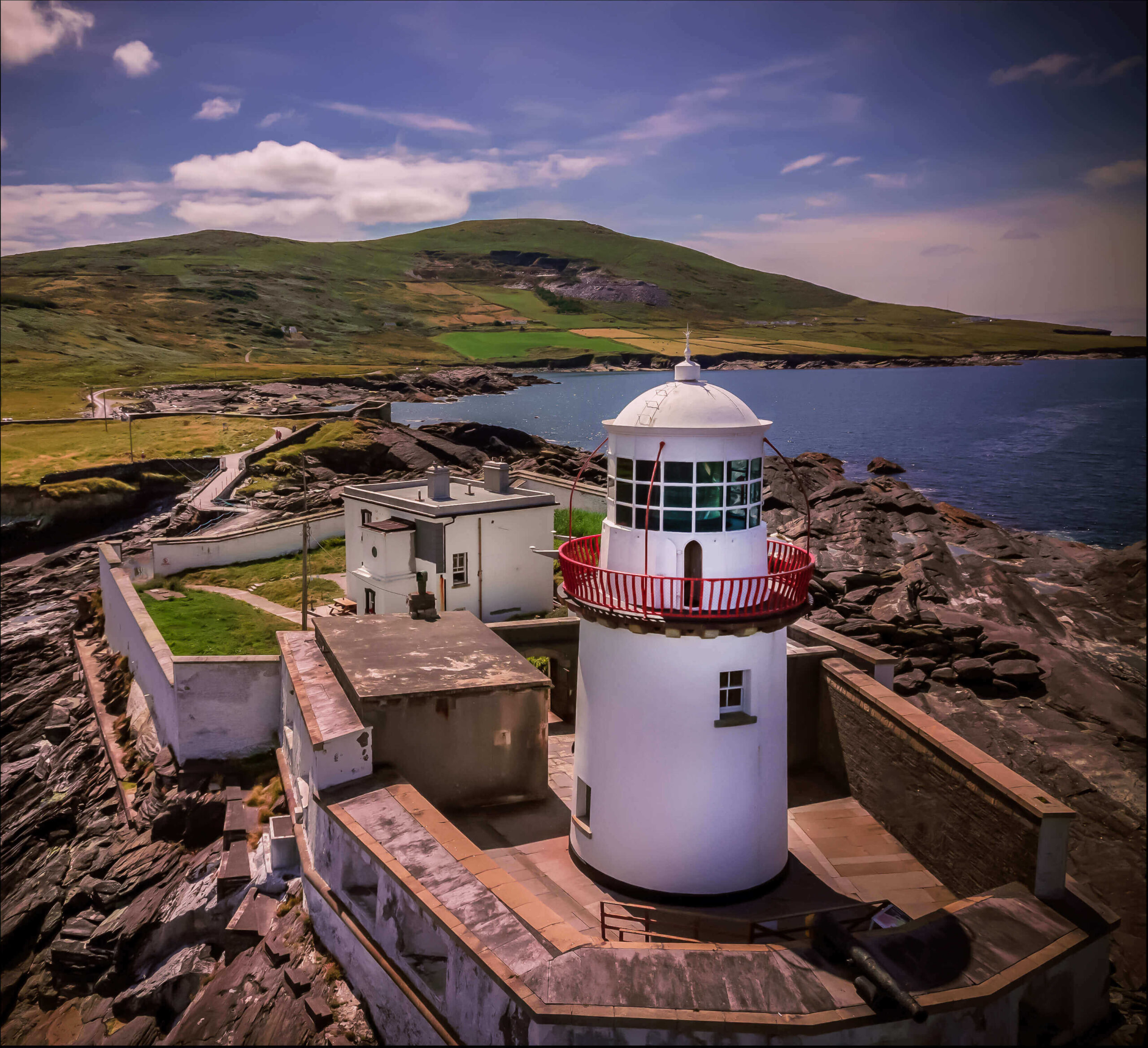 Valentia Island LighthouseMuseum · 1.2 mi
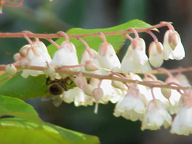 Lily-of-the-valley treeLily-of-the-valley tree · 1.3 mi
 Chilean myrtleChilean myrtle · 1.3 mi
 ValentiaIsland · 1.7 mi