What is recorded here
On rough peaty hill pasture, on a break to the S of outcropping rocks on the S-facing slopes of Maulin. The remains of an oval hut site (6m N-S; 3.8m E-W) defined by a collapsed stone wall (T 0.6m; H up to 0.45m) which protrudes above the surface of the bog. Traces of upright stone slabs occur along the wall W-NE. Elsewhere, the slabs are fallen or are leaning heavily. Jumbled stones, which are strewn E-W across the S quadrant, may indicate some form of internal division. The hut site is cut (D 0.2m) into the upslope at the N, creating a level interior which is partially obscured by rushes. Another hut site (CO115-148002-) is c. 30m to the S.
The above description is derived from 'The Archaeological Inventory of County Cork. Volume 5' (Dublin: Stationery Office, 2009).
Date of upload: 22 December 2009
The monument record does not grant public access. Check the route and ask the landowner before entering private land.
- What survives
- Recorded monument
Places near here
 Field boundary in Derrymihin East,rodeenField boundary · 283 yd
 Hut site in RodeenHut site · 504 yd
 Beara WayWalking route · 1673 yd
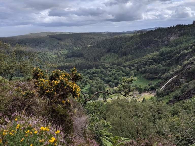 MaulinMountain / peak · 1.1 mi
 Eagle HillMountain / peak · 1.4 mi
 Mass-house in ShanacoumhaMass-house · 1.7 mi
 IndicatedChurch · 1.7 mi
 TrawnablahaBeach / strand · 2.0 mi
 Minane IslandIslet · 2.1 mi
 Dinish IslandIslet · 2.4 mi
 Berehaven Battalion MemorialMemorial · 2.4 mi
 Sarah Walker GalleryGallery · 2.6 mi