What is recorded here
In commonage, on a gentle SE-facing slope, at the base of a steep craggy outcrop to the N. The remains of a D-shaped hut (2.75m E-W) defined by a collapsed drystone wall (T 0.6m; H 0.8m) and by a straight W side (L 1.75m N-S) formed by the external SE wall of an adjoining hut site (KE075-029----). The entrance (Wth 0.4m) is in the E wall. The interior is level.
Compiled by: Elizabeth Byrne, Ursula Egan and Sheila Ronan, Archaeological Survey Unit, University College, Cork.
Date of upload: 31 January 2011
The monument record does not grant public access. Check the route and ask the landowner before entering private land.
- What survives
- Recorded monument
Places near here
 SheepfoldEnclosure · 510 yd
 Enclosure in Crohane (magunihy By., Flesk Ed)Enclosure · 725 yd
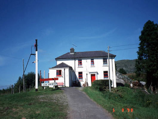 railway stationrailway station · 1541 yd
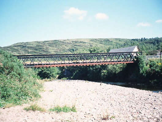 bridgebridge · 1626 yd
 Freaghhanagh HillMountain / peak · 1.4 mi
 CrohaneMountain / peak · 2.0 mi
 Killaha Castle (in Ruins)Castle, tower house · 3.9 mi
 Hidden Valley Pet FarmHeritage attraction · 4.2 mi
 Great Southern & Western RailwayMemorial · 6.1 mi
 Torc WaterfallWaterfall · 6.9 mi
 Muckross Lake WalkWalking route · 7.1 mi
 Monterey CypressMonterey Cypress · 7.3 mi