What is recorded here
Situated on a plateau. Circular grass-covered area (ext. diam. 5m; int. diam. 4m) defined by a stone wall-footing. The hut-site (WA006-034001-) is just to the E. A cairn (WA006-034006-) is c. 10m further to the E. It is associated with field system (WA006-034004-).
Compiled by: Michael Moore
Date of upload: 20 July 2010
The monument record does not grant public access. Check the route and ask the landowner before entering private land.
- What survives
- Recorded monument
Places near here
 Hut site in Curraghduff (upperthird By., Rathgormuck Par.)Hut site · 20 yd
 Field system in Curraghduff (upperthird By., Rathgormuck Par.)Field system · 128 yd
 Siglloges LoopWalking route · 775 yd
 Coumlara LoopWalking route · 1364 yd
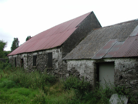 Nell's Cottagefarm house · 1529 yd
 Coumfea North TopMountain / peak · 1.3 mi
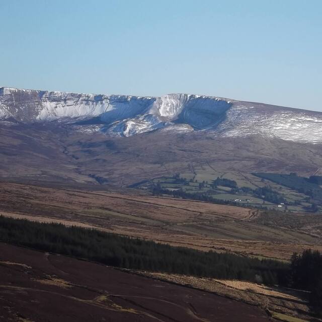 Coumfea West TopMountain / peak · 1.5 mi
 CillChurch · 1.5 mi
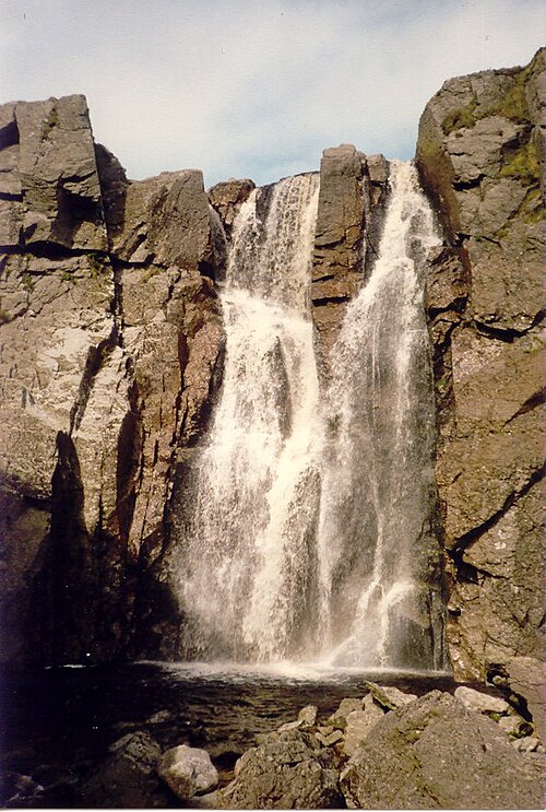 Mahon FallsWaterfall · 2.5 mi
 Curraheen TrailsVisitor information · 2.6 mi
 Knocknaree WoodForest · 2.7 mi
 Mahon ValleyCliff · 2.7 mi