What is recorded here
Coumduff holds a circular rath where a small rectangular hut abuts the inner bank, proving that people lived beside the Owenascaul before modern fields swallowed the shape. The grass still covers low stone foundations, waiting for hands to trace the room where someone likely breathed, cooked or loved.
Circular univallate rath KE044-054----, with hut site (KE044-054001-) and Man-made underground passage (KE044-054002-), is situated on level pastureland about 350m W of the Owenascaul river.
Directly S of the NE gap in the bank, the low and grass-grown foundations of a rectangular or D-shaped structure KE044-054001- abut the inner face of the bank. It measures c. 3.5m E-W x 4.5m N-S internally.
The above description is derived from J. Cuppage, ‘Corca Dhuibhne. Dingle Peninsula archaeological survey. Ballyferriter. Oidhreacht Chorca Dhuibhne’ (1986), no. 373. In certain instances the entries have been revised and updated in the light of recent research.
Date of upload: 6 August 2013
The monument record does not grant public access. Check the route and ask the landowner before entering private land.
- What survives
- Recorded monument
Places near here
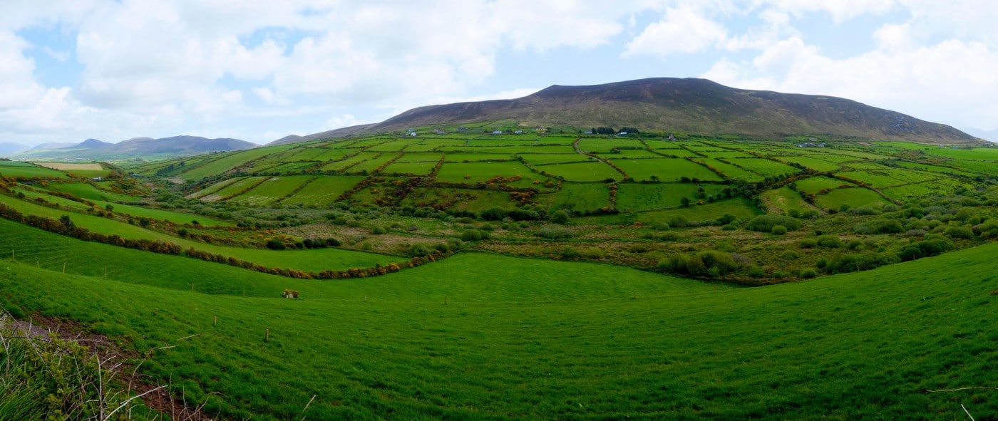 Man-made underground passage in CoumduffMan-made underground passage · 14 yd
 Hut site in DerrygormanHut site · 782 yd
 Church in AnnagapChurch · 847 yd
 Graveyard in BallynacourtyGraveyard · 1374 yd
 Brackloon Lodgehotel · 1.1 mi
 Statue of Our LadyHeritage attraction · 1.1 mi
 Jerome ConnorMemorial · 1.1 mi
 Knockmulanane West TopMountain / peak · 2.1 mi
 Bunaneer StrandBeach / strand · 2.1 mi
 Cnoc na BánóigeMountain / peak · 2.7 mi
 Glanteenassig Forest ParkForest · 2.7 mi
 Acres PointHeadland · 3.3 mi