What is recorded here
Eleven feet of grassed wall still circle a forgotten room on the Clare plateau, while a cairn watches from twenty-six metres east. The flat ground abuts a natural terrace, suggesting people chose the edge where the land rises rather than burying themselves in open waste. Maybe they sat inside when rain struck the plateau or kept watch over the field system below. The stones have surrendered their sharp edges to grass, but the shape remains clear enough to prove the edge was once valuable.
In a flat area abutting a natural NE-SW terrace on the lower SE slopes of a broad plateau that largely forms part of an extensive field system (CL009-084001-). A subcircular enclosure (diam. c. 11m) defined by a grassed-over wall visible on Digital Globe (2011-2013) and on OSi MapGenie orthophotography (2013-2018). A cairn (CL010-253----) lies c. 26m to the E on the same terrace.
Compiled by: Mary Tunney
Date of upload: 16 August 2023
The monument record does not grant public access. Check the route and ask the landowner before entering private land.
- What survives
- Recorded monument
Places near here
 IndicatedFairy fort / stone ringfort · 106 yd
 Enclosure in Commons (burren By.)Enclosure · 847 yd
 Castle in ruinsCastle, tower house · 1322 yd
 Saint Columba's Catholic Churchchurch/chapel · 1607 yd
 Castle (in ruins)Castle, unclassified · 1736 yd
 Farbrega RockNamed rock · 1.2 mi
 Templeline (in ruins)Church · 1.3 mi
 PoulnabroneMemorial · 2.3 mi
 CaherconnellHeritage attraction · 2.4 mi
 Poulnabrone - Burren GeositeVisitor information · 2.6 mi
 The Portal TombVisitor information · 2.6 mi
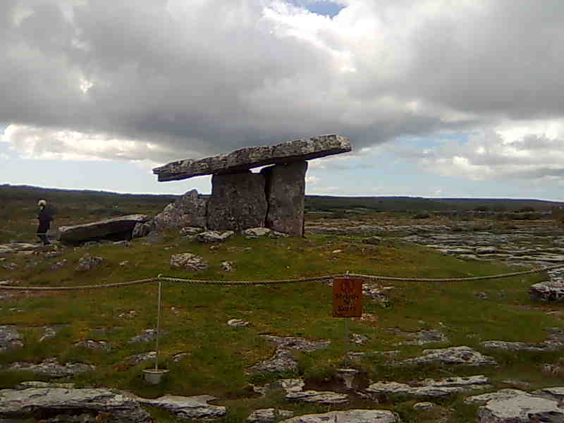
 Poulnabrone DolmenHeritage attraction · 2.6 mi