What is recorded here
A spread of loose stones in the centre of the rath, 13m x 10m, may indicate the remains of a structure (KE106-033001-). Abutting the inner face of the bank at N is a semicircular arrangement of stone, possibly the foundations of a hut. It measures 5.4m x 4m and features some upright slabs.
The above description is derived from A. O'Sullivan and J. Sheehan (compilers), 'The Iveragh peninsula: an archaeological survey of South Kerry'. Cork University Press (1996), no. 489. In certain instances the entries have been revised and updated in the light of recent research.
Date of upload: 28 July 2013
The monument record does not grant public access. Check the route and ask the landowner before entering private land.
- What survives
- Recorded monument
Places near here
 Man-made underground passage in CoadMan-made underground passage · 8 yd
 Old TreeRitual site, holy tree/bush · 197 yd
 Kilcrohane Church (in ruins)Church · 225 yd
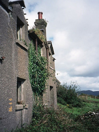 coastguard stationcoastguard station · 1023 yd
 Castle Cove (in Ruins)Castle, tower house · 1740 yd
 Reen BeachBeach / strand · 1.2 mi
 Eagles HillMountain / peak · 1.5 mi
 Trá an Ghleanna Bhig / Glanbeg BeachBeach / strand · 1.7 mi
 Cnoc na StéigeMountain / peak · 1.9 mi
 Ogham StoneVisitor information · 2.8 mi
 2Cliff · 3.0 mi
 IllaundraneIslet · 3.2 mi