What is recorded here
The remains of this possible hut site consist of a C-shaped low earthen bank (max. external dimensions 7.2m N-S x 9.5m E-W: H 0.3m), with some possible stone revetting at SE corner on the outer edge of the bank. There is a break in the bank at W that is partly obstructed by an irregularly shaped low mound (2m N-S x 2.5m E-W). (pers. comm. H. Carey)
Compiled by: Paul Walsh
Date of upload: 28 June 2013
The monument record does not grant public access. Check the route and ask the landowner before entering private land.
- What survives
- Recorded monument
Places near here
 Enclosure in LeitirEnclosure · 1.5 mi
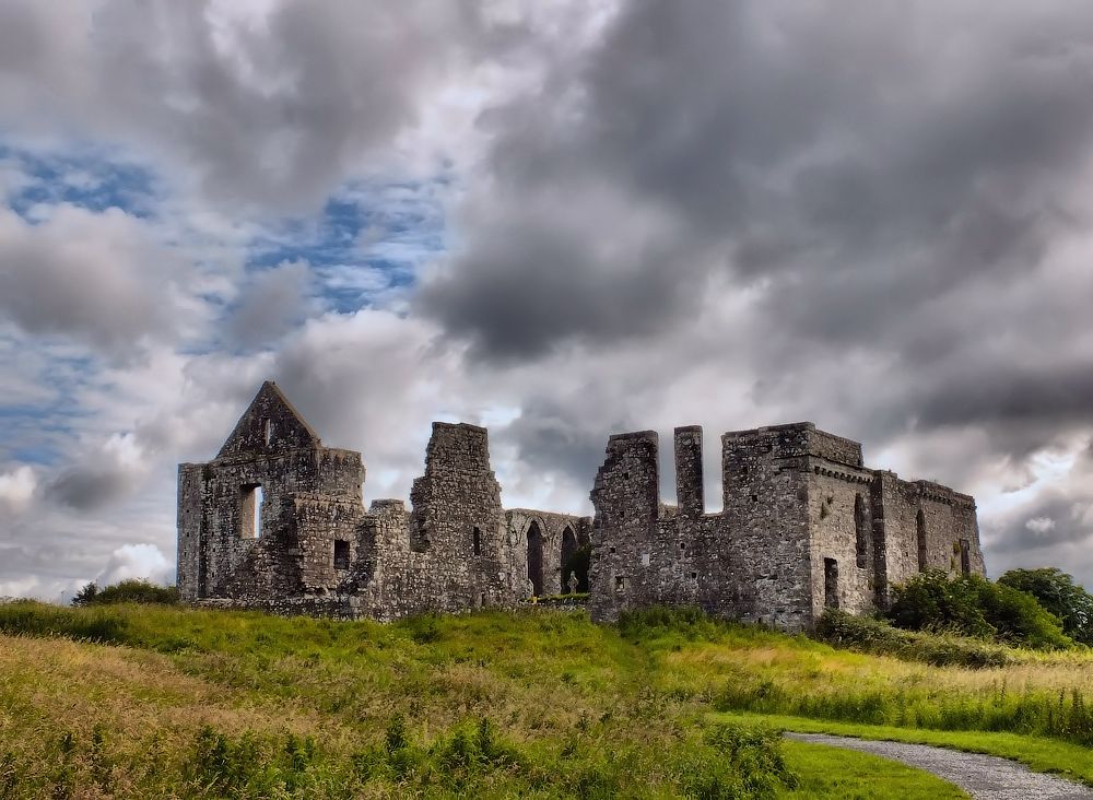 Cnoc an Bhaile NuaMountain / peak · 2.3 mi
 IndicatedEnclosure · 2.5 mi
 Foraois Sheanadh PhéistínForest · 2.8 mi
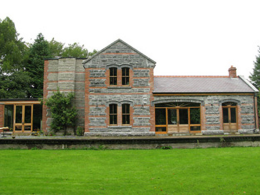 Ross Railway Stationrailway station · 2.9 mi
 AltarPenitential station · 3.0 mi
 Annagh WoodWood · 3.3 mi
 Oghery Castle in ruinsCastle, unclassified · 3.3 mi
 Brigit's GardenHeritage attraction · 3.9 mi
 Connemara MarbleHeritage attraction · 4.0 mi
 Aughnanure Castle (in ruins)Castle, tower house · 5.0 mi
 Cnoc an GharráinMountain / peak · 5.2 mi