What is recorded here
Situated on a marked to steep E-facing slope overlooking Luggala lake. Level oval platform (dims. 7m N-S; 5m E-W) with the W and E sides defined by steep scarps. There is a stony bank (Wth 1-1.5m; H 0.3m) defining the site at N and S. No indication of an entrance. Other hut sites (WI012-021---- / WI012-021001-) occur to the W.
The above description is derived from the published 'Archaeological Inventory of County Wicklow' (Dublin: Stationery Office, 1997). In certain instances the entries have been revised and updated in the light of recent research.
Date of upload/revision: 17 December 2008
The monument record does not grant public access. Check the route and ask the landowner before entering private land.
- What survives
- Recorded monument
Places near here
 LuggalaMountain / peak · 705 yd
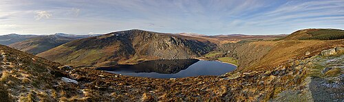 Lough TayMountain lake · 733 yd
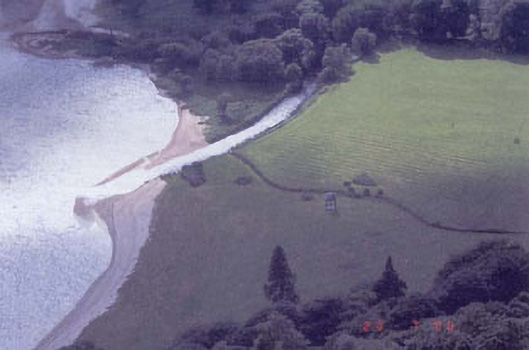 Luggala Lodgefolly · 1236 yd
 J.B. Malone MemorialMemorial · 1622 yd
 Ballinastoe WoodForest · 1.6 mi
 Coon BeachBeach / strand · 1.8 mi
 Scotch VillageRuins · 1.8 mi
 White HillMountain / peak · 1.9 mi
 Abandoned Miners' VillageArchaeological place · 2.1 mi
 The Coffin StoneArchaeological place · 2.3 mi
 Victor's WayHeritage attraction · 2.7 mi
 Glenmacnass WaterfallWaterfall · 3.7 mi