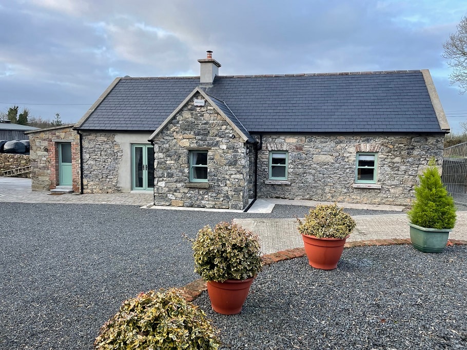
What is recorded here
Hut site in Clashganny West is a hut site in Clashganny West, County Tipperary, Ireland. On a gradual west-facing slope of Barranacullia hill in the Knockmealdown mountains, the small stone enclosure stands 0.3 to 0.6 metres high inside and 0.2 to 0.6 metres high outside. Its interior measures 1.9 by 2.1 metres and holds a lot of rubble. Diarmuid O'Keeffe linked it in 1996 to a wider complex of enclosures, hut sites, a possible ring-cairn, clearance cairns and a field system.
On a gradual W-facing slope of Barranacullia hill in the Knockmealdown mountains. This hut site is part of a complex of enclosures (TS091-009001-; TS091-009007-; TS091-009008-; TS091-009009-; TS091-009012-), hut sites (TS091-009003-; TS091-009004-; TS091-009010-; TS091-009011-; TS091-009015-), a possible ring-cairn (TS091-009002-), clearance cairns (TS091-009005-) and a field system (TS091-009013-) identified by Diarmuid O'Keeffe, 1996. It is a small denuded stone enclosure (int. dims. 1.9m x 2.1m; int. H 0.3-0.6m; ext. H 0.2-0.6m) with a lot of rubble in the interior.
Compiled by: Jean Farrelly
Date of upload: 26 February 2014
The monument record does not grant public access. Check the route and ask the landowner before entering private land.
- What survives
- Recorded monument
Places near here
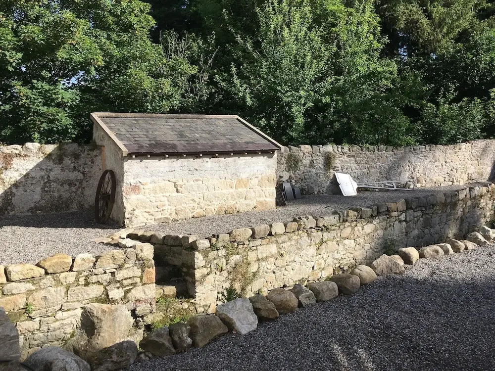 Enclosure in Clashganny WestEnclosure · 765 yd
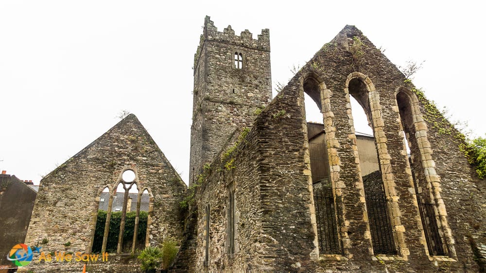 Enclosure in Broemountain (decies Without Drum By., Lickoran Par.)Enclosure · 1.7 mi
 Curraghcloney CastleCastle · 1.7 mi
 Church in Clashganny EastChurch · 2.0 mi
 BroemountainMountain / peak · 2.2 mi
 KnocknanaskMountain / peak · 2.2 mi
 Catholic Church of Our Lady of the Assumptionchurch/chapel · 2.2 mi
 Castle Coonagh (in ruins)Castle, tower house · 3.0 mi
 European long distance path E8 - part IrelandWalking route · 3.8 mi
 Glenshelane WoodsForest · 4.5 mi
 Kildanogue wildfowl sanctuary and nature reserveNature reserve · 4.5 mi
Other information
Photo: Credit not shown in the picture search · Rights wording not checked; contact us if this picture should be removed