
What is recorded here
On a W-facing slope, S of Barrnacullia, off the crest of a hill, in upland boggy terrain in the Knockmealdown mountains. This is part of a complex of enclosures (TS091-009001-; TS091-009007-; TS091-009008-; TS091-009009-; TS091-009012-), hut sites (TS091-009003-; TS091-009006-; TS091-009010-; TS091-009011-; TS091-009015-), a possible ring-cairn (TS091-009002-), clearance cairns (TS091-009005-) and a field system (TS091-009013-) identified by Diarmuid O'Keeffe, 1996. Circular area (int. diam. 3.6m N-S; 4m E-W; ext. diam. 8.65m N-S; 8.4m E-W) enclosed by stone wall, composed of loose sandstone (Wth 2.6m; H above int. 0.25-0.7m; H above ext. 0.3-0.67m). There is no evidence of an entrance. There is an associated stone wall (average Wth 2m) 8m to the NNW which runs NW-SE. A large stone enclosure (TS091-009001-) is visible 106m to the NE.
Compiled by: Jean Farrelly
Date of upload: 25 February 2014
The monument record does not grant public access. Check the route and ask the landowner before entering private land.
- What survives
- Recorded monument
Places near here
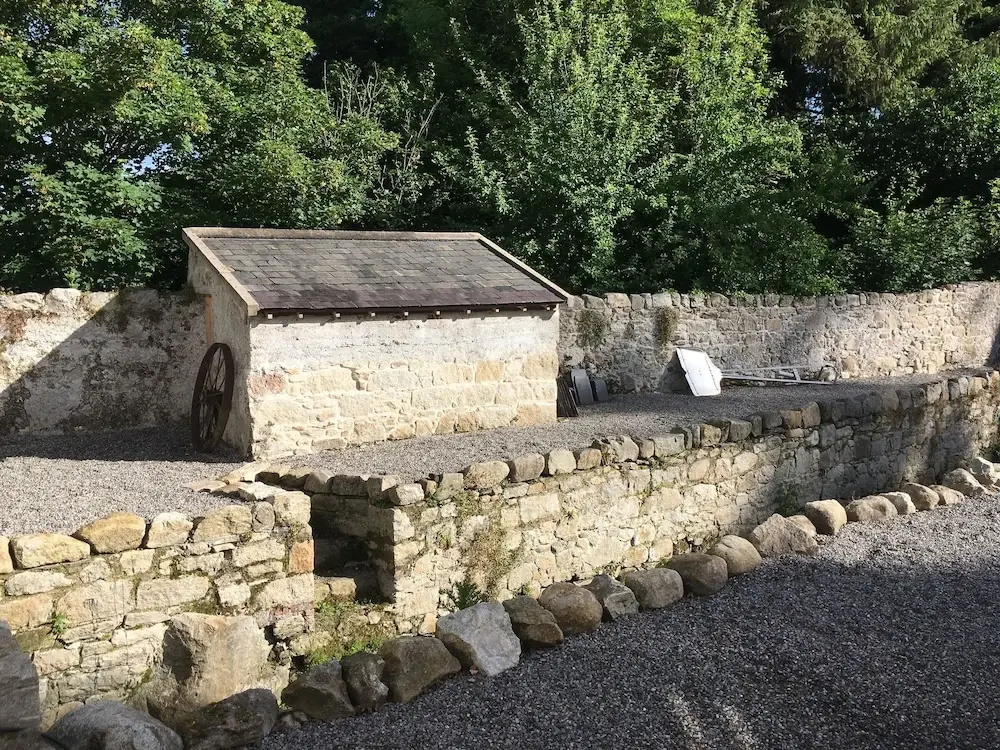 Enclosure in Clashganny WestEnclosure · 131 yd
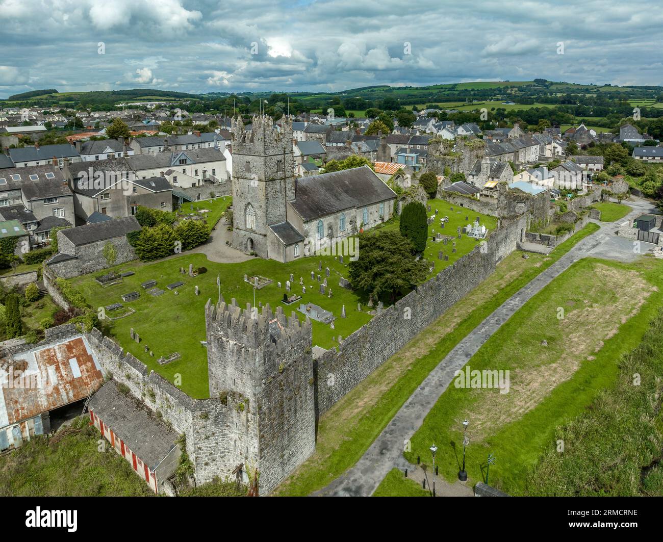 Hut site in Clashganny WestHut site · 194 yd
 Curraghcloney CastleCastle · 1.6 mi
 Church in Clashganny EastChurch · 1.7 mi
 Catholic Church of Our Lady of the Assumptionchurch/chapel · 1.9 mi
 IndicatedBawn · 2.1 mi
 BroemountainMountain / peak · 2.5 mi
 KnocknanaskMountain / peak · 2.5 mi
 European long distance path E8 - part IrelandWalking route · 3.4 mi
 Kildanogue wildfowl sanctuary and nature reserveNature reserve · 4.5 mi
 Laeka WoodWood · 4.5 mi
Other information
Photo: Credit not shown in the picture search · Rights wording not checked; contact us if this picture should be removed