What is recorded here
In rough wet pasture, on a fairly steep SSE facing slope overlooking the Blasket Sound. A roughly circular hut foundation, the wall now surviving as a peat-covered stony bank. D: 7.4m. H: 1m. In the interior is a roughly rectangular setting of stones on edge, function not known, and directly outside the entrance gap at SE is a raised area, 5 x 3.8m x 1m in height, crowned by a low upright slab.
The above description is derived from J. Cuppage, ‘Corca Dhuibhne. Dingle Peninsula archaeological survey. Ballyferriter. Oidhreacht Chorca Dhuibhne’ (1986), no. 1276. In certain instances the entries have been revised and updated in the light of recent research.
Date of upload: 5 August 2013
The monument record does not grant public access. Check the route and ask the landowner before entering private land.
- What survives
- Recorded monument
Places near here
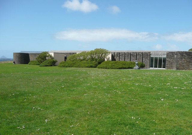 Ionad an Bhlascaoid MhóirMuseum · 222 yd
 Stone CrossCross · 304 yd
 Kilgobnet Penitential StationPenitential station · 377 yd
 Holy well in Ceathrú An FheirtéaraighHoly well · 409 yd
 Dunquin Church (in ruins)Church · 1076 yd
 Dún BinneHeadland · 1166 yd
 Mullach Charraige LéitheMountain / peak · 1567 yd
 Faill BearnaiscCliff · 1.1 mi
 Tráigh ChloichirBeach / strand · 1.6 mi
 Traigh an ChomaBeach / strand · 1.7 mi
 Sliabh an IolairMountain / peak · 1.8 mi
 Dunmore HeadViewpoint · 1.8 mi