
What is recorded here
Located about 100m SE of KE087-026---- and over-lying one of the broad cultivation ridges that are wide-spread on these slopes. The foundations of two adjoining huts, each defined by a rectangular setting of upright slabs. D: 2.4m x 2.3m and 3.7m x 2.1m. The average dimensions of the slabs measure .9m x .3m.
The above description is derived from A. O'Sullivan and J. Sheehan (compilers), 'The Iveragh peninsula: an archaeological survey of South Kerry'. Cork University Press (1996), no. 1140. In certain instances the entries have been revised and updated in the light of recent research.
Date of upload: 31 July 2013
The monument record does not grant public access. Check the route and ask the landowner before entering private land.
- What survives
- Recorded monument
Places near here
 Field system in BrayField system · 159 yd
 Enclosure in BrayEnclosure · 217 yd
 MillMill, unclassified · 297 yd
 RoadRoad, road/trackway · 315 yd
 Horse IslandIslet · 886 yd
 Bray HeadMountain / peak · 1067 yd
 Long IslandIslet · 1123 yd
 Telegraph Field Valentia IslandMemorial · 1399 yd
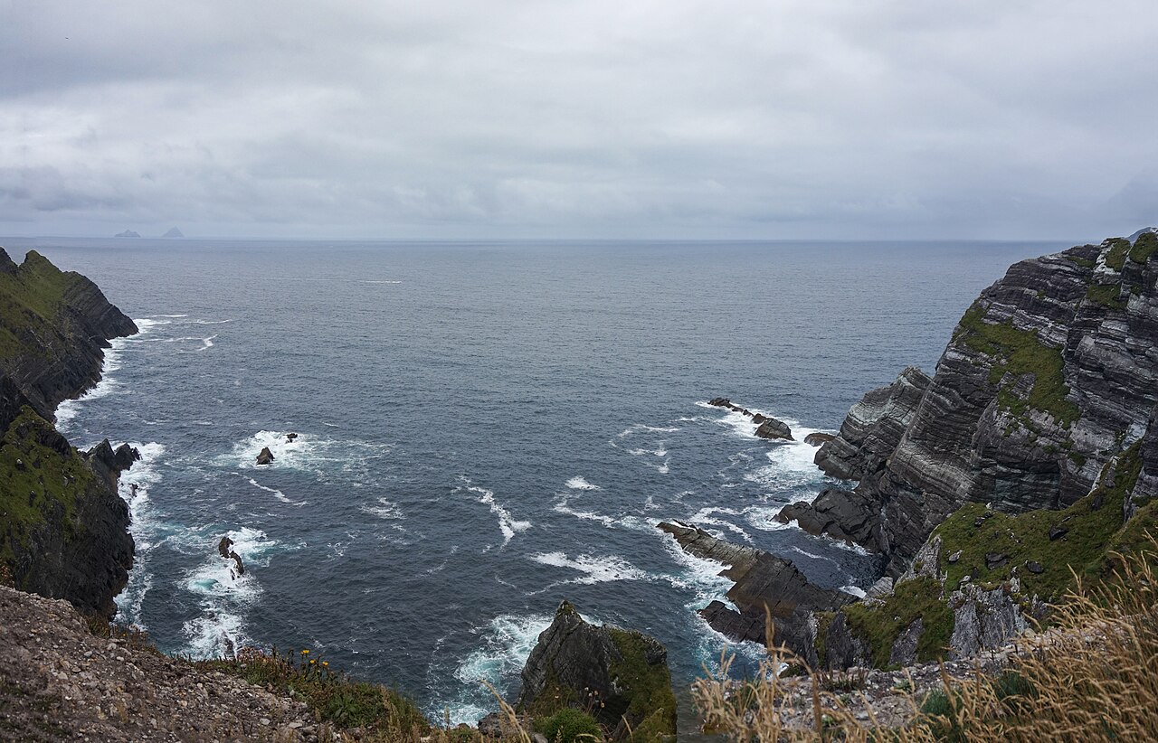 Kerry CliffsHeritage attraction · 1.6 mi
 Culloo RockViewpoint · 1.9 mi
 Sean LochaCliff · 2.5 mi
 Tobairin Holy WellSpring · 2.5 mi
Other information
Photo: Credit not shown in the picture search · Rights wording not checked; contact us if this picture should be removed