What is recorded here
Traces of a circular hut site (diam c. 11m) in the NE quadrant of the cashel (LA019-011001-).
Compiled by: Caimin O'Brien
Date of upload: 17 December 2007
The monument record does not grant public access. Check the route and ask the landowner before entering private land.
- What survives
- Recorded monument
Places near here
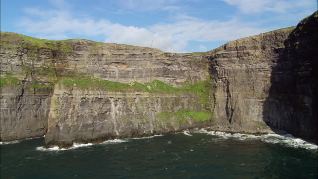 Cliff-edge fort in BallypriorCliff-edge fort · 342 yd
 Enclosure in Guileen (stradbally By., Luggacurren Ed)Enclosure · 1360 yd
 IndicatedCastle, unclassified · 1.1 mi
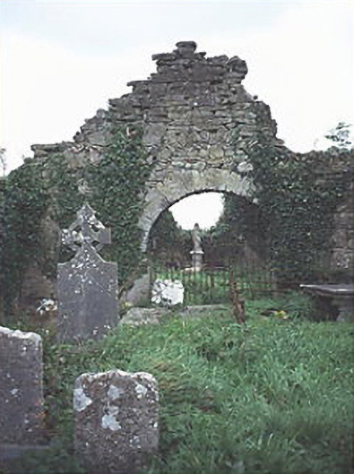 graveyard/cemeterygraveyard/cemetery · 1.3 mi
 Mass Rock WalkWalking route · 1.5 mi
 Cobbler's Castle WalkWalking route · 1.6 mi
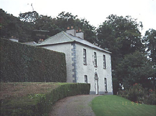 Timogue Househouse · 1.6 mi
 Oughaval Wood MapVisitor information · 1.7 mi
 Mass RockNamed rock · 1.7 mi
 Site of CastleCastle, unclassified · 1.7 mi
 CEMETERYGraveyard · 2.0 mi
 DM PenderMemorial · 2.1 mi