What is recorded here
On a gentle S-facing slope, in undulating pastureland and karst limestone outcrops, within a field system (CL008-053001-). This circular hut site (int. diam. 4.6m) is defined by a collapsed and grass-covered wall (Wth 0.5m; H 0.45m) with an entrance gap (Wth 0.7m) at the NW. A possible cashel (CL008-053002-) lies c. 36.5m to the SSW.
The following image has been uploaded: CL008-053004- View from SW
Compiled by: Olive Alcock and Conn Herriott
Date of upload: 20 October 2022
The monument record does not grant public access. Check the route and ask the landowner before entering private land.
- What survives
- Recorded monument
Places near here
 CastleCastle, tower house · 435 yd
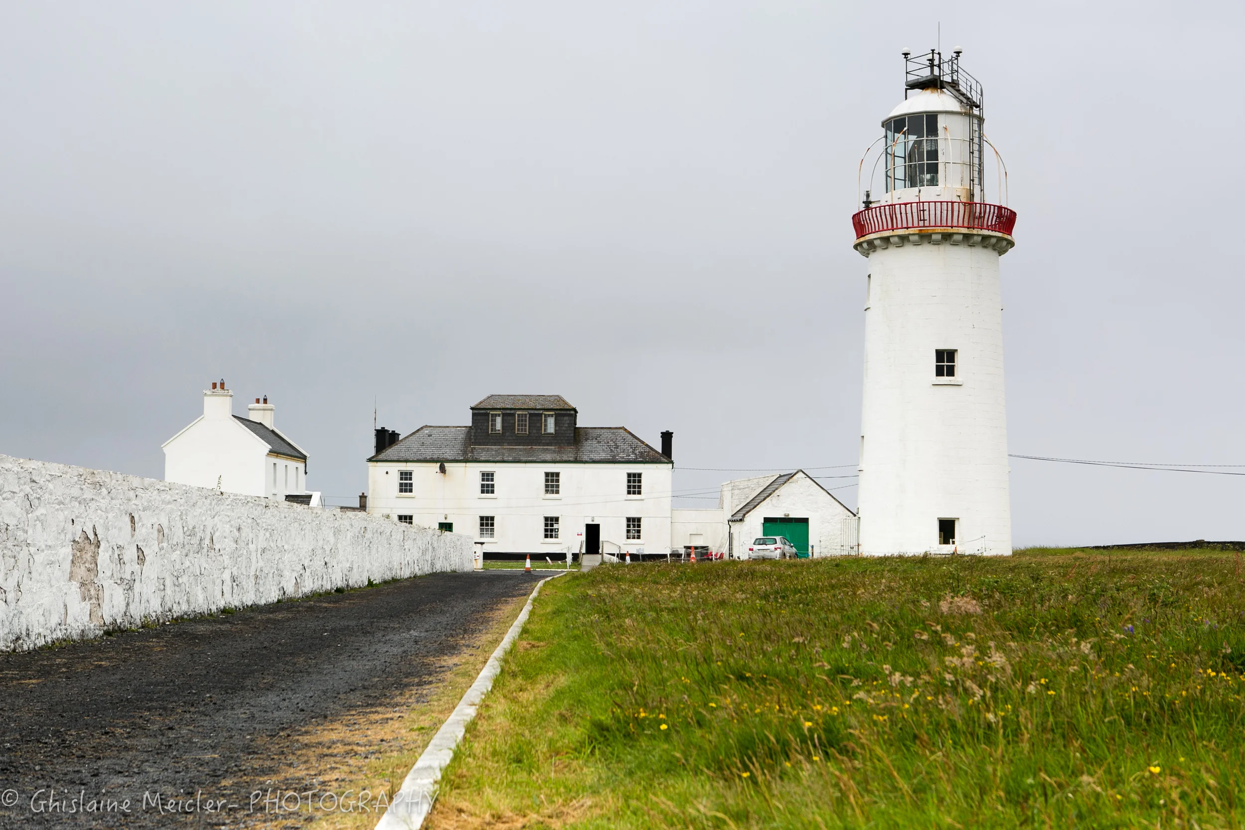 CahercloggaunFairy fort / stone ringfort · 444 yd
 Toomaghera R.C. ChapelChurch · 605 yd
 Catholic Church of Our Lady of Lourdeschurch/chapel · 727 yd
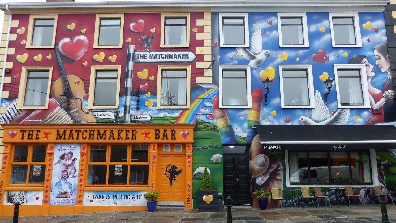 IndicatedEnclosure · 1020 yd
 Poll CragreaghCave · 1273 yd
 Site of Lisdoonvarna CastleCastle, tower house · 1594 yd
 Poll ElvaCave · 1.3 mi
 Ballyteigue Nature ReserveNature reserve · 1.5 mi
 Cahermacnaghten CashelHeritage attraction · 2.4 mi
 Slieve ElvaMountain / peak · 2.6 mi
 Doolin Cave Visitor CentreHeritage attraction · 3.8 mi