What is recorded here
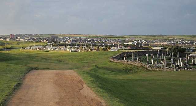
Lisnacarheen, a circular rath on the lowermost slopes of Knockmoylemore, still holds faint traces of human life. Low banks stretch inward like forgotten ribs, and a drystone edge at the northeast may have marked where huts stood. The place overlooks Trabeg, suggesting people chose it for sight, shelter or both. Whatever the chambers and houses were for, they belonged to someone who understood that land can be shaped into a home.
Lisnacarheen/Lios na Ceártan: Situated on the lowermost, S facing slopes of Knockmoylemore, overlooking Trabeg, circular univallate rath KE043-200---- contains a Man-made underground passage, possible hut-sites and a substantial rectangular house which is probably secondary.
There are several low banks of earth and stone in the interior, extending from the bank towards the centre, but their function is not clear. The drystone facing along the inner edge of the bank at NE may mark the location of hut-sites (KE043-200002-).
The above description is derived from J. Cuppage, ‘Corca Dhuibhne. Dingle Peninsula archaeological survey. Ballyferriter. Oidhreacht Chorca Dhuibhne’ (1986), no. 344. In certain instances the entries have been revised and updated in the light of recent research.
Date of upload: 6 August 2013
The monument record does not grant public access. Check the route and ask the landowner before entering private land.
- What survives
- Recorded monument
Places near here
 Lios CoilleArchaeological place · 342 yd
 Fulacht fia in Baile An Bhúlaeraigh TheasFulacht fia · 631 yd
 Church in Lios DeargáinChurch · 1229 yd
 An Cnoc Maol MórMountain / peak · 1.2 mi
 An ChorrMountain / peak · 1.3 mi
 An ChonairViewpoint · 1.7 mi
 Church in Páirc An TeampaillChurch · 1.9 mi
 Maughanablagher CliffsCliff · 1.9 mi
 Lispole Ambush MonumentWayside cross · 2.3 mi
 Ballintaggart Ogham StonesVisitor information · 2.5 mi
 CarrignawaddraNamed rock · 2.6 mi
 Castle (Site of)Castle, tower house · 2.7 mi