What is recorded here
An Dúinín, the small fort, still holds its shape on Ballymore Point despite losing one wall to the sea. The flat promontory guards Ventry Harbour, while a rectangular hut and smaller D-shaped enclosure survive beside the cliff. People likely quarried the land itself to build later walls, turning the edge into a changing boundary between home and water.
KE052-289----; Ballymore Point, a fairly level NE-SW running promontory, marks the E side of the entrance to Ventry Harbour.
Abutting the bank at its SE end is a rectangular hut-site, 3 x 4.5m, with an enclosing bank, .5m high. A later wall with a slight internal fosse skirts the edge of the cliff isolating 2 smaller promontories to SW and S. At the W edge of the latter is a D-shaped enclosure measuring 2.2m x 2m with banks less than .3m high; the W side has fallen into the sea. This is probably a hut-site.
A larger depression to E of the latter seems to result from quarrying, perhaps for material for the later walls. Although the defences are very slight, the presence of hut-sites, and the local name for the site, An Dúinín (An Seabhac 1939, 49), suggest it is a promontory fort.
The above description is derived from J. Cuppage, ‘Corca Dhuibhne. Dingle Peninsula archaeological survey. Ballyferriter. Oidhreacht Chorca Dhuibhne’ (1986), no. 264. In certain instances the entries have been revised and updated in the light of recent research.
Date of upload: 4 August 2013
The monument record does not grant public access. Check the route and ask the landowner before entering private land.
- What survives
- Recorded monument
Places near here
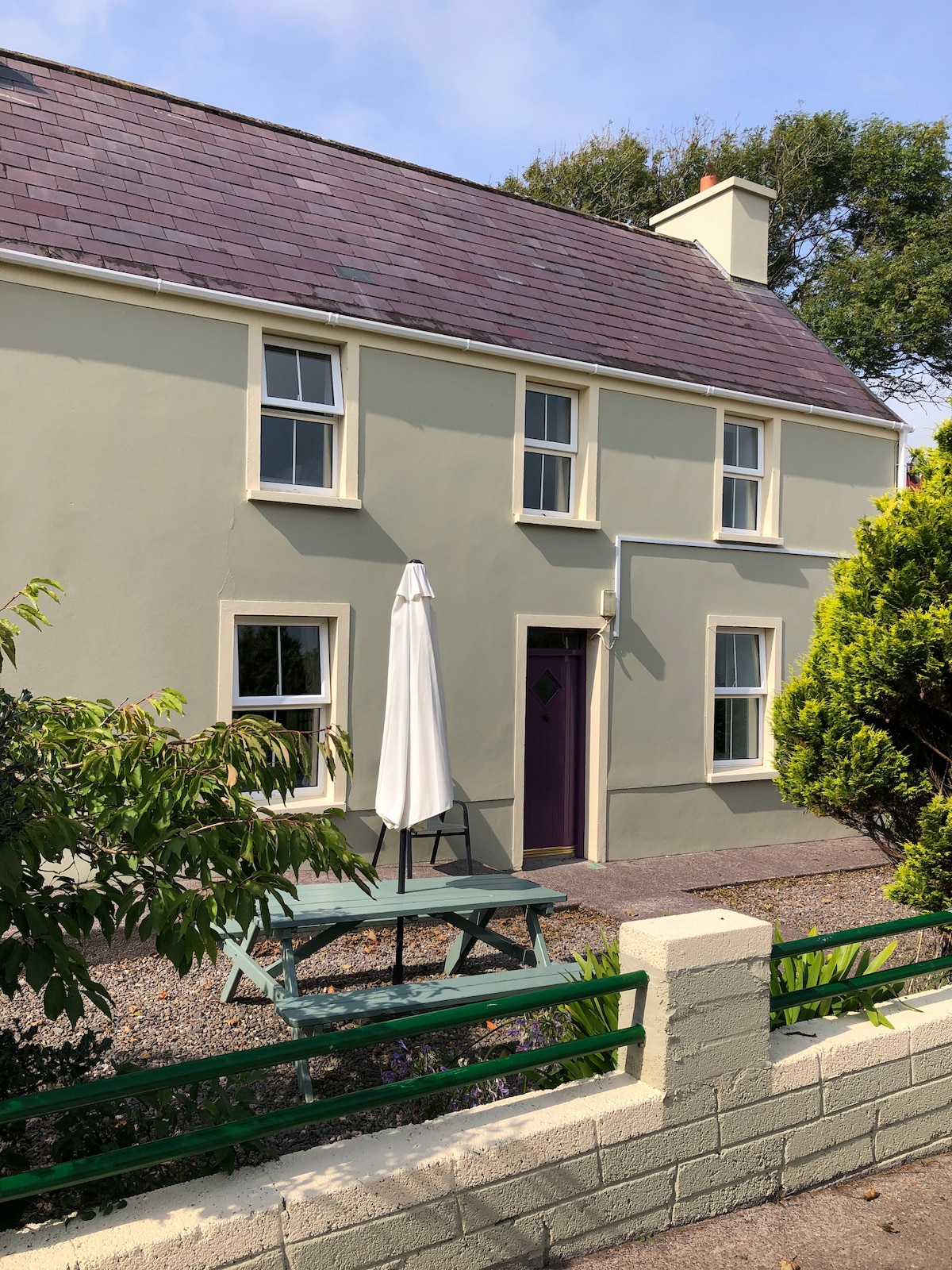 Hut site in Baile Mór ThiarHut site · 30 yd
 Promontory fortPromontory fort, coastal · 443 yd
 Trá Ciarán BeachBeach / strand · 1.2 mi
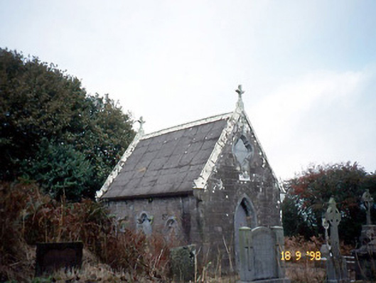 Reilig Ráithín Uí Bhuaigh [Reheenyhooig Graveyard]mausoleum · 1.3 mi
 Site of Ballingolin CastleArchaeological place · 1.3 mi
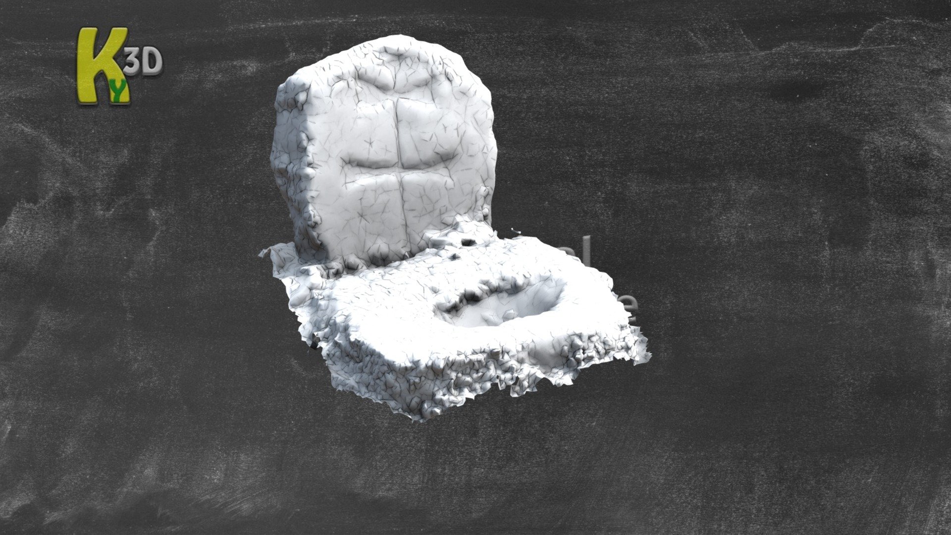 CastleCastle, unclassified · 1.3 mi
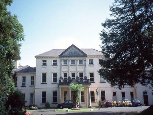 Coláiste Ídecountry house · 1.3 mi
 An Chathair AirdMountain / peak · 1.5 mi
 Cnoc na CeathrúnMountain / peak · 2.3 mi
 Dingle Marina Dive CentreHeritage attraction · 2.7 mi
 Memorial to all who lost their lives in our seas.Memorial · 2.7 mi
 Charles HaugheyMemorial · 2.8 mi