What is recorded here
In poor mountain pasture, on a small level terrace on the SE slopes of Ballydavid Head. A circular, slightly corbelled drystone hut. D: 3.32m. H: 1.1m. T: 1.02m.
The above description is derived from J. Cuppage, ‘Corca Dhuibhne. Dingle Peninsula archaeological survey. Ballyferriter. Oidhreacht Chorca Dhuibhne’ (1986), no. 1108. In certain instances the entries have been revised and updated in the light of recent research.
Date of upload: 5 August 2013
The monument record does not grant public access. Check the route and ask the landowner before entering private land.
- What survives
- Recorded monument
Places near here
 Ballydavid Signal TowerRuins · 392 yd
 Ceann Bhaile DháithMountain / peak · 397 yd
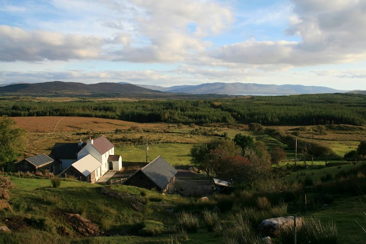 Hut site in Currach GráigeHut site · 634 yd
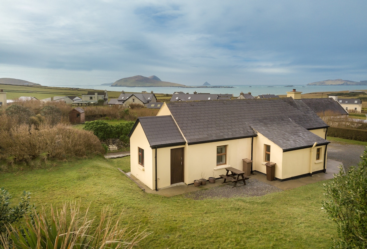 Enclosure in Baile DháithEnclosure · 699 yd
 Cúinne an MhionnáinHeadland · 1047 yd
 Moorestown CastleCastle · 1.1 mi
 Séipéal Bhréanainn [Saint Brendan's Catholic Church]church/chapel · 1.9 mi
 Brandon CreekViewpoint · 2.1 mi
 Cuan Ard na CaithneBay · 2.5 mi
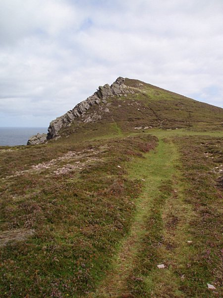 Binn DiarmadaMountain / peak · 2.6 mi
 Dunanoir FortVisitor information · 3.5 mi
 Trá an FhíonaBeach / strand · 3.5 mi